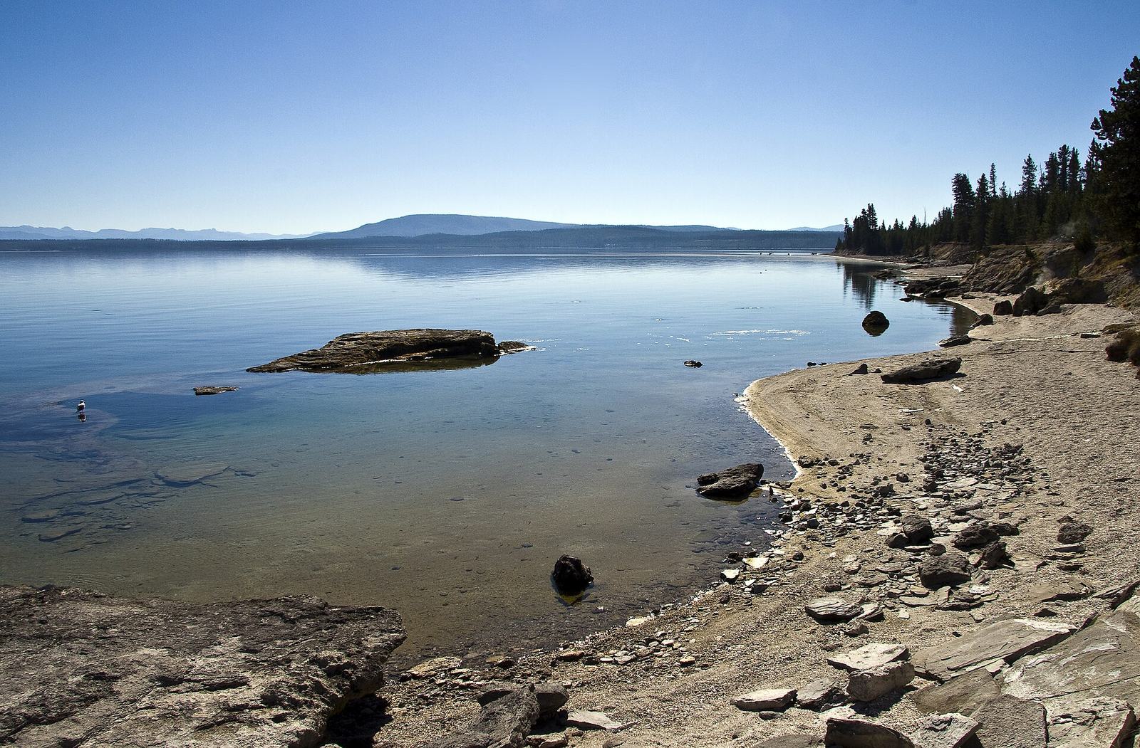
Yellowstone Lake is the largest lake in Yellowstone National Park, Wyoming, and the largest high-elevation lake in North America: about 20 miles long and 14 miles wide, with 141 miles of shoreline at 7,733 feet. Its north and west shores are lined by the Grand Loop Road, with Lake Village, Fishing Bridge, Bridge Bay and West Thumb along the way.
It’s not the Yellowstone Lake State Park in Wisconsin, which comes up in a lot of searches, and it’s not a lake you swim in. The water averages about 41°F, and it’s cold enough to kill in half an hour. What it is: an enormous, mountain-ringed inland sea, with steam vents on its shores, underwater hot springs on its floor, grizzlies on its beaches in spring, and some of the best sunsets in the park.
Most visitors see the lake through a windshield on the way from Old Faithful to Canyon, and that’s a shame. Lake Country rewards a half day or more: a morning walk at Storm Point, lunch at the Lake Hotel, a stop at the Fishing Bridge museum and an evening at Lake Butte Overlook. This hub covers the whole shoreline, what’s worth stopping for, and how to plan around the lake’s short, cold season.
How big is Yellowstone Lake?
Yellowstone Lake covers about 132 square miles, measures roughly 20 miles north to south and 14 miles east to west, and has 141 miles of shoreline, according to the NPS. It sits at 7,733 feet, and its deepest known point is about 390 feet, in a canyon near Stevenson Island.
The key numbers (NPS, checked September 2026):
| Fact | Figure |
|---|---|
| Surface area | About 132 square miles (342 km²) |
| Length and width | About 20 miles long, 14 miles wide |
| Shoreline | 141 miles (227 km) |
| Elevation | 7,733 feet (2,357 m) |
| Deepest point | About 390 feet (119 m), near Stevenson Island |
| Average water temperature | 41°F (5°C) |
| Survival time in the water | 20 to 30 minutes |
| Freezes | Late December or early January |
| Thaws | Late May or early June |
| Ice thickness | A few inches to more than 2 feet |
| Hottest measured lake-floor vent | 252°F (122°C), in Mary Bay |
| Fish | The largest population of wild cutthroat trout in North America |
Some sources give different figures for the area, typically 136 square miles, and older NPS material gave a maximum depth of 320 feet at West Thumb before surveys mapped the deeper canyon. We use the current NPS figures. Our explainer on how deep Yellowstone Lake is covers the lake-floor surveys in detail.
Lake Country at a glance: how the shoreline is laid out
The Grand Loop Road follows the lake’s west and north shores, and the East Entrance Road runs along its northeast shore. The east and south shores, with the lake’s long southern arms, are roadless backcountry, reachable only by boat or on foot.
Driving the shoreline from the southwest, you pass:
- West Thumb and Grant Village. The lake’s western bay, formed by a volcanic explosion. West Thumb Geyser Basin sits right on the shore, and Grant Village, just south, has lodging, a campground and a visitor center.
- The west shore road. About 21 miles from West Thumb to Fishing Bridge, with lake views, picnic areas and pullouts.
- Bridge Bay. The lake’s marina and its largest campground, with boat rentals, scenic cruises and the short Gull Point Drive.
- Lake Village. The historic Lake Yellowstone Hotel, Lake Lodge, a general store, a medical clinic and a ranger station.
- Fishing Bridge. Where the Yellowstone River leaves the lake, with a visitor center, a store, gas and the RV park.
- The East Entrance Road. Along the northeast shore past Pelican Creek, Storm Point, Mary Bay, Steamboat Point and Lake Butte, then over Sylvan Pass to the East Entrance, 27 miles from Fishing Bridge.
Useful distances: West Thumb to Old Faithful is 17 miles, West Thumb to the South Entrance is 22 miles, and Fishing Bridge to Canyon Village is 16 miles through Hayden Valley. For a printable guide to every stop, see our Yellowstone Lake map.
The shoreline drive: West Thumb to Lake Butte Overlook
Driving the lake’s shore from West Thumb to Lake Butte is about 40 miles one way. Without stops it takes a bit over an hour. With stops, make it a half day, and aim to finish at Lake Butte for sunset.
West Thumb Geyser Basin
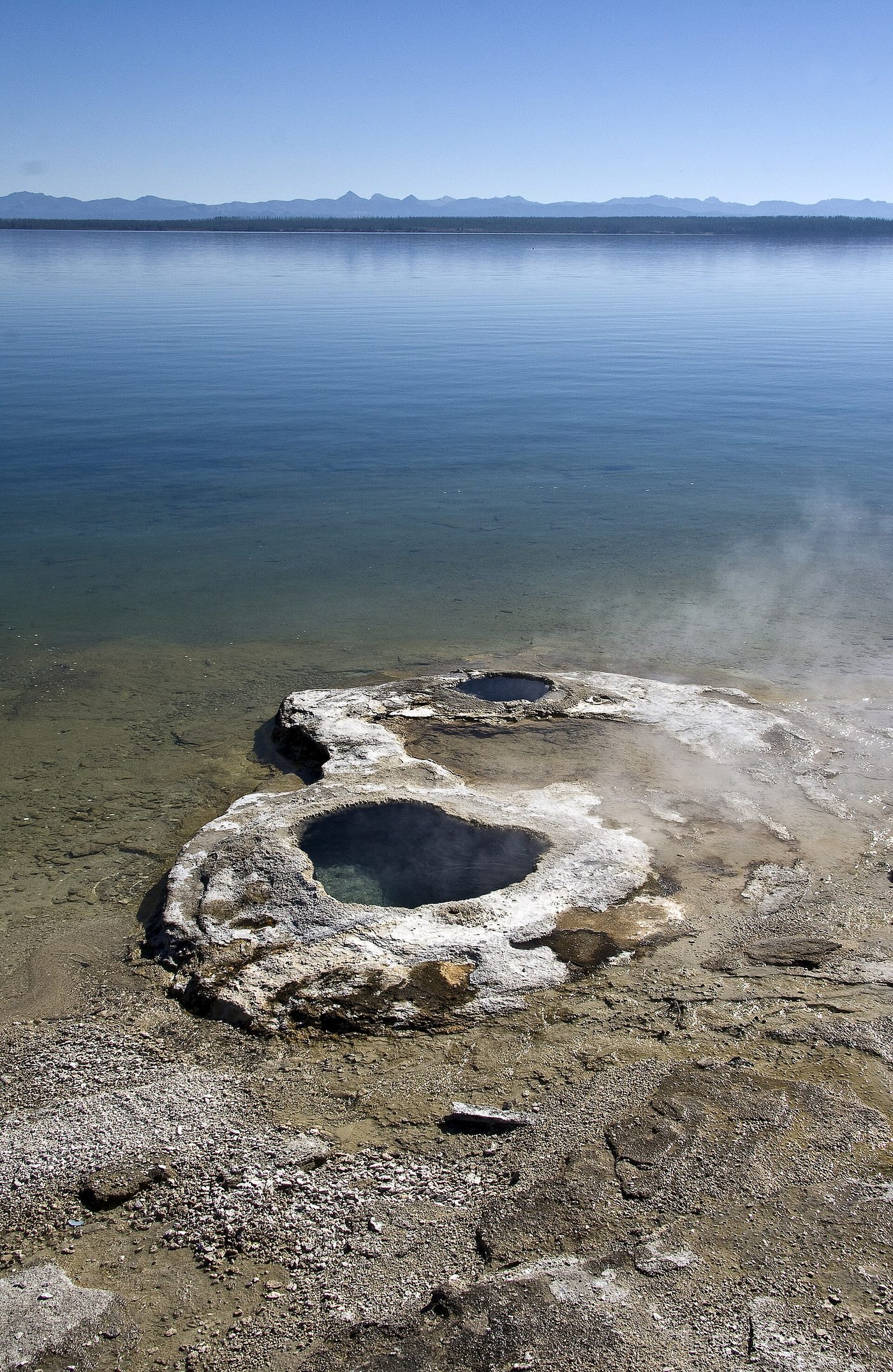
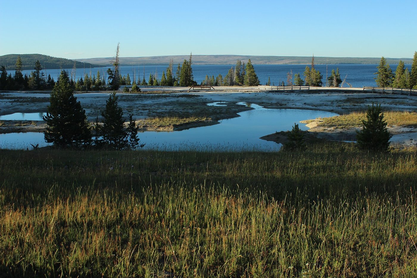
West Thumb is the only geyser basin in the park right on the lakeshore, with hot springs and cones steaming at the water’s edge and a boardwalk loop of about half a mile. It’s one of the most photogenic places on the lake, especially on calm mornings when steam drifts over the water. West Thumb itself belongs to our Yellowstone geysers hub, where you’ll find the full guide.
Gull Point Drive and Bridge Bay
A few miles south of Lake Village, Gull Point Drive is a short, quiet spur road along a sandy point with picnic spots and lake views. It’s a pleasant 10-minute detour. Bridge Bay, next to it, is the lake’s marina.
In 2026, the Bridge Bay Bridge had construction delays of up to 15 minutes through November, and the Yellowstone River Bridge near Fishing Bridge had delays of up to 30 minutes for paving over the same period (checked September 2026). Build in extra time.
Lake Village and Fishing Bridge
The next two stops are covered in their own sections below. Both are worth at least 30 minutes.
Pelican Creek, Storm Point and Mary Bay
East of Fishing Bridge, the road crosses the Pelican Creek flats, a good place for waterbirds and, at times, bison and grizzlies. Storm Point, a couple of miles farther, has the best short lakeshore walk in the park. Past it, the road hugs the shore of Mary Bay, a large explosion crater, where steam rises from the beach in places and there are underwater vents offshore. Steamboat Point, just beyond, has hissing steam vents close to the road.
Lake Butte Overlook
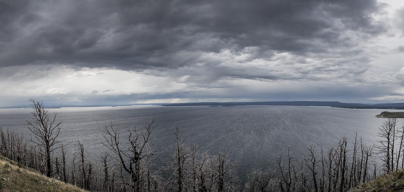
A short spur road climbs from the East Entrance Road to Lake Butte Overlook, with a panorama across the whole lake to the Absaroka Range and, on clear days, the Tetons far to the south. It’s one of the best sunset spots in Yellowstone.
Our verdict: if you drive the East Entrance Road, the detour is essential. If you’re not, it’s still worth the 20-mile drive from Lake Village for sunset on a clear evening. Our guides to the Yellowstone Lake scenic drive and Lake Butte Overlook have stop-by-stop details and the best timing.
Sunrise, sunset and photography
The lake faces the right way for both ends of the day, which is rare in Yellowstone. At sunrise, the best light is on the west and north shores: West Thumb, where steam from the hot springs catches the first sun, and the beaches near Lake Village and Gull Point, where the water is usually glassy before the wind picks up. At sunset, head east. Lake Butte Overlook looks back across the whole lake as the sun drops behind the far shore, and Steamboat Point and the Mary Bay beaches are good lower-angle alternatives.
Calm mornings are the lake’s secret. By late morning in summer, wind usually ruffles the surface, and by mid-afternoon whitecaps are common. If you want reflections of the Absaroka Range, be on the shore within an hour of sunrise. On stormy evenings, don’t give up: clearing storms over the lake often produce the most dramatic skies of the day.
Lake Village and the Lake Yellowstone Hotel
Lake Village is the lake’s historic heart. The pale yellow Lake Yellowstone Hotel, with its white columns facing the water, opened in 1891 and was remodeled in the Colonial Revival style in the early 1900s. It’s the oldest operating hotel in the park, and it’s the most elegant building in Yellowstone.
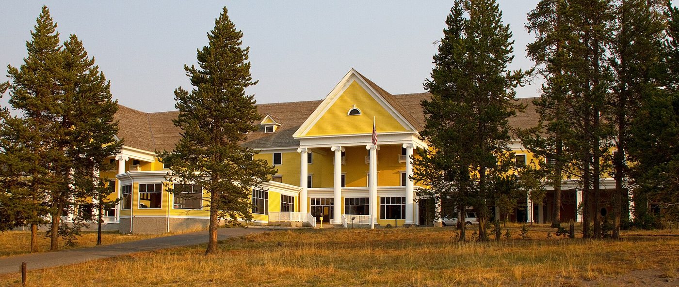
You don’t need to stay there to enjoy it. Walk through the sunroom, which looks out over the lake, have a drink or a meal, and listen to the live piano music that’s often played in the evening. It’s one of the nicest ways to spend a rainy afternoon in the park.
Lake Village also has Lake Lodge (a rustic log lodge with cabins), a general store, a post office, a ranger station and a summer medical clinic. In 2026, the NPS listed the Lake Hotel’s season as May 15 to October 10 and Lake Lodge as June 10 to October 3 (checked September 2026). Rooms, prices and booking rules are covered in our Yellowstone lodging guide. For a walking tour of the village and its services, see our guide to Lake Village.
Fishing Bridge and the Yellowstone River
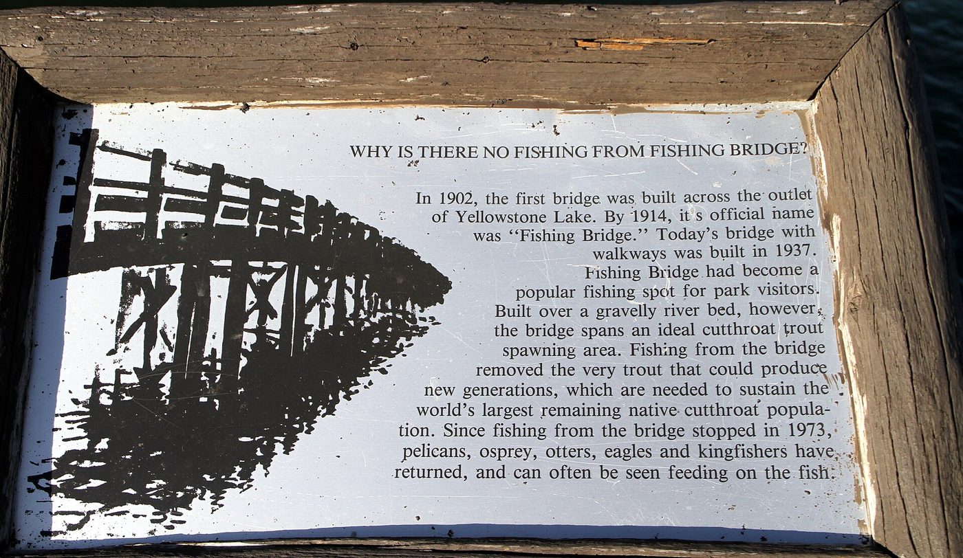
Fishing Bridge crosses the Yellowstone River where it flows out of the lake. The first bridge here went up in 1902, and the current bridge dates from 1937. For decades it was one of the most popular fishing spots in the park, with anglers lined elbow to elbow along the railings. The outlet is also a critical spawning area for cutthroat trout, and fishing from the bridge ended in 1973. Today, the bridge is a good place to watch trout in the clear water below, along with pelicans, ospreys and otters.
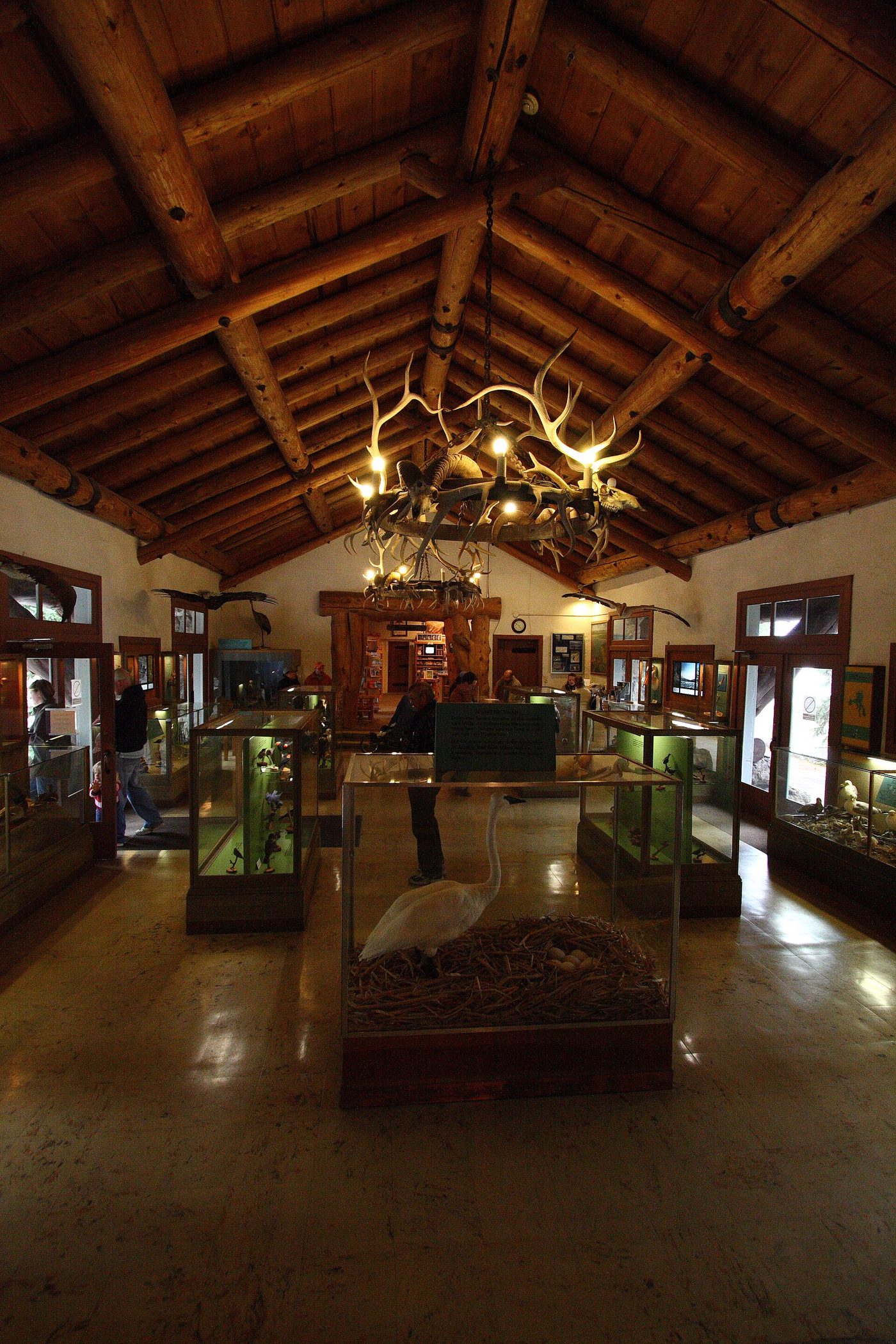
The Fishing Bridge Visitor Center, built in 1931, is a rustic stone-and-log building that’s worth a visit on its own. Its bird and wildlife exhibits are old-fashioned in the best way, and its lakeside terrace is one of the best places to understand the lake’s geology. Fishing Bridge also has a general store, gas and the Fishing Bridge RV Park, which accepts only hard-sided vehicles because of bear activity. See our guide to Fishing Bridge.
From Fishing Bridge, the Yellowstone River flows north past LeHardy Rapids, where cutthroat trout can be seen jumping in early summer, through Hayden Valley and over the Upper and Lower Falls into the Grand Canyon of the Yellowstone. Our guide to the Yellowstone River in Yellowstone National Park follows it from the lake to the park boundary.
Hikes and walks on the lakeshore
The lake has several of the park’s best short hikes, and they’re far less crowded than the geyser basin trails. Distances are round trip (NPS, checked September 2026).
| Trail | Distance | Difficulty | Highlights |
|---|---|---|---|
| Storm Point | 2.3 miles | Easy | Indian Pond, a rocky point on the lake, yellow-bellied marmots |
| Elephant Back Mountain | 3.5 miles, 800 feet | Moderate | Forest climb to a view over the lake and islands |
| Natural Bridge | About 3 miles | Easy | A natural rock arch over a creek near Bridge Bay |
| Pelican Creek Nature Trail | Under 1 mile | Easy | Forest, marsh and a beach |
| West Thumb boardwalk | About 0.5 mile | Easy | Lakeshore hot springs |
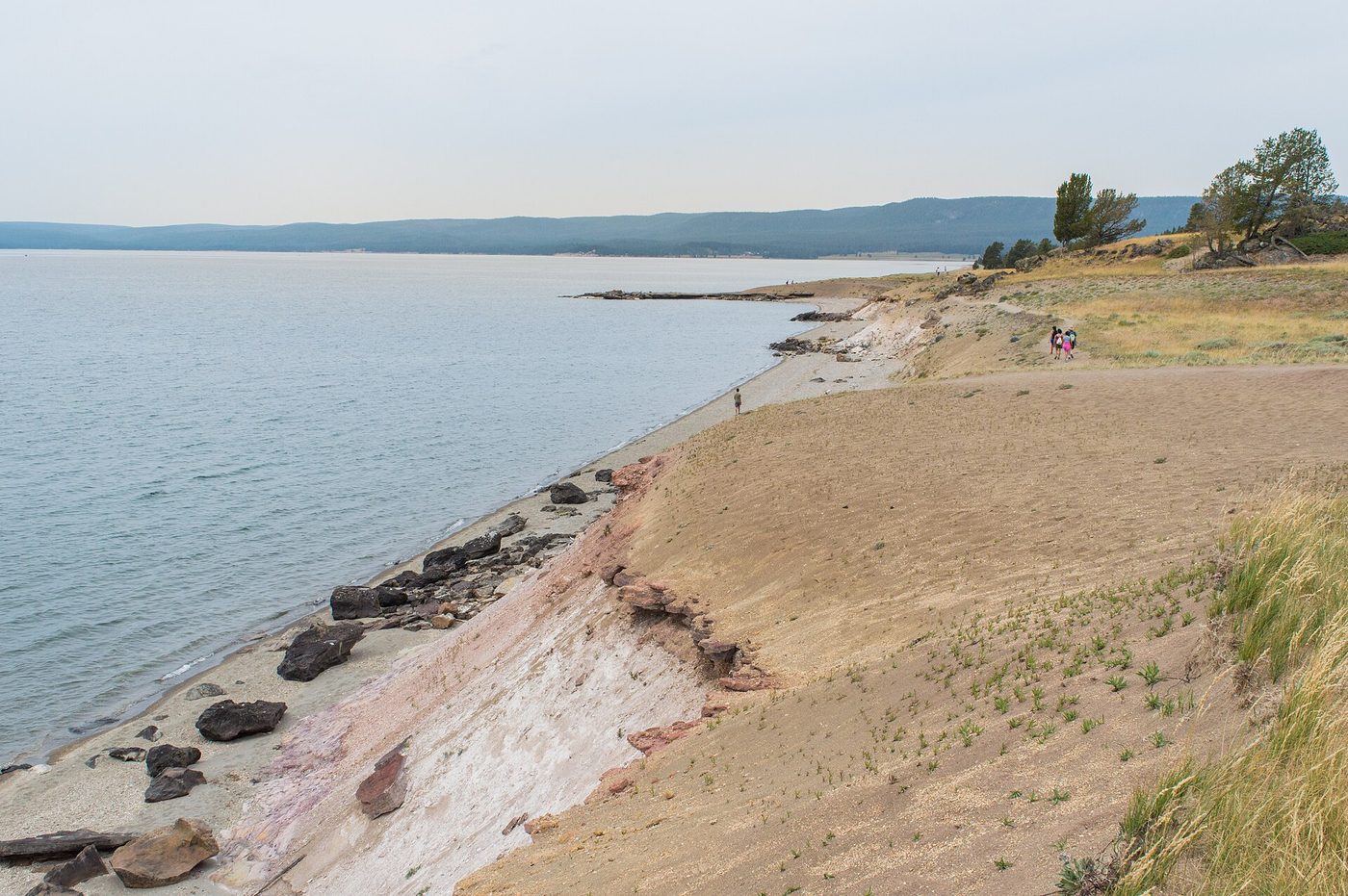
Storm Point is our pick if you do only one. It’s flat, crosses meadow and forest to a windswept point with big lake views, and is good for families. Check for bear closures in spring.
Pelican Valley, northeast of the lake, is one of the most important grizzly habitats in Yellowstone. It’s a bear management area with seasonal restrictions on entry, including limits on when and how hikers can travel. It’s not a casual walk. Before you plan any hike there, read our Pelican Valley guide and check with a ranger. For more trails across the park, see our best hikes in Yellowstone hub.
Can you swim in Yellowstone Lake?
It’s not a place to swim. The water averages about 41°F, and the NPS says survival time in the lake is only 20 to 30 minutes. Cold shock can incapacitate a strong swimmer within minutes, and afternoon winds kick up large waves fast. Wading at the edge on a hot day is as far as most visitors should go.
Swimming rules and the few places in the park where swimming is realistic are covered in one place on this site, our fishing and water guide. The same page covers boating permits and fishing regulations.
Boating, paddling, fishing and lake cruises
Getting on the water is one of the best ways to see the lake, but it’s a serious undertaking, not a casual paddle.
- Scenic cruises. Xanterra runs scenic boat cruises from the Bridge Bay Marina in summer, a safe and easy way to get out on the lake, with views of Stevenson Island and the Absaroka Range.
- Boat rentals and guided fishing. Rowboats, outboard boats and guided fishing trips are available at Bridge Bay in summer.
- Private boats and kayaks. You need a Yellowstone boat permit and an aquatic invasive species inspection before launching. The lake’s arms and the cold, windy open water make it dangerous for small boats, and paddlers are advised to stay close to shore.
- Fishing. The lake has the largest population of wild cutthroat trout in North America, and it’s also home to non-native lake trout, which were illegally introduced and discovered in the 1990s. Lake trout eat cutthroat, which threatens birds and bears that depend on them. The park runs an extensive netting program, and anglers are required to keep lake trout they catch. A park fishing permit is required.
Guided tours also leave from the Lake Hotel. Xanterra’s Shoreline Sojourn, a new tour in 2026, runs from the Lake Hotel to West Thumb, from 12:45 to 4 p.m., at $84.47 for adults and $42.23 for children 3 to 11 (May 16 to October 10, 2026, checked September 2026). Our Yellowstone tours hub covers cruises and guided trips, and the fishing hub has permits, seasons and boating rules.
What’s under Yellowstone Lake?
This is the part most visitors never hear about, and it’s fascinating. Yellowstone Lake sits partly inside the Yellowstone Caldera, and its floor is geologically active.
- Hydrothermal vents. Underwater hot springs and geysers have been found at West Thumb, Mary Bay and Sedge Bay. The hottest vent measured in Mary Bay reached 252°F.
- Explosion craters. Mary Bay and West Thumb are both craters left by large hydrothermal or volcanic explosions. Mary Bay’s crater is considered one of the largest hydrothermal explosion craters in the world.
- Rock spires. Surveys found spires up to 20 feet tall on the lake floor near Bridge Bay, formed by hydrothermal deposits.
- A rising floor. The resurgent domes under the caldera have shown an average net uplift of about 1 inch per year over time, part of the normal “breathing” of the caldera.
- A deep canyon. Mapping found the deepest part of the lake, about 390 feet, in a canyon near Stevenson Island.
None of this is a hazard for visitors on shore, but it explains the steam on beaches in Mary Bay and the hot springs at West Thumb. See our Yellowstone supervolcano hub for the bigger geological picture.
Wildlife around Yellowstone Lake
The lake and its surroundings are some of the richest wildlife areas in the park, especially for birds.
- Birds. American white pelicans, trumpeter swans, bald eagles, ospreys, common loons, Canada geese and many ducks. Molly Islands, in the southeast arm, host a pelican colony, off-limits to visitors.
- Bison. Common on the flats near Fishing Bridge and Pelican Creek and along the East Entrance Road.
- Grizzly bears. Particularly in spring, when bears feed along the shore and at spawning streams. Pelican Valley and the east shore are prime grizzly habitat.
- Elk and moose. Moose sometimes feed in the marshes around Pelican Creek and near the south shore.
- Otters and marmots. River otters at Fishing Bridge and LeHardy Rapids; yellow-bellied marmots at Storm Point.
Keep at least 100 yards from bears and wolves and 25 yards from all other animals. Our Yellowstone wildlife guide covers species and viewing tips across the park.
When is the best time to visit Yellowstone Lake?
July through mid-September is best. The ice is long gone, roads and services are open, and boat cruises and rentals are running. Late June brings wildflowers and spawning trout; September has fewer crowds and calmer mornings. The lake usually stays frozen until late May or early June.
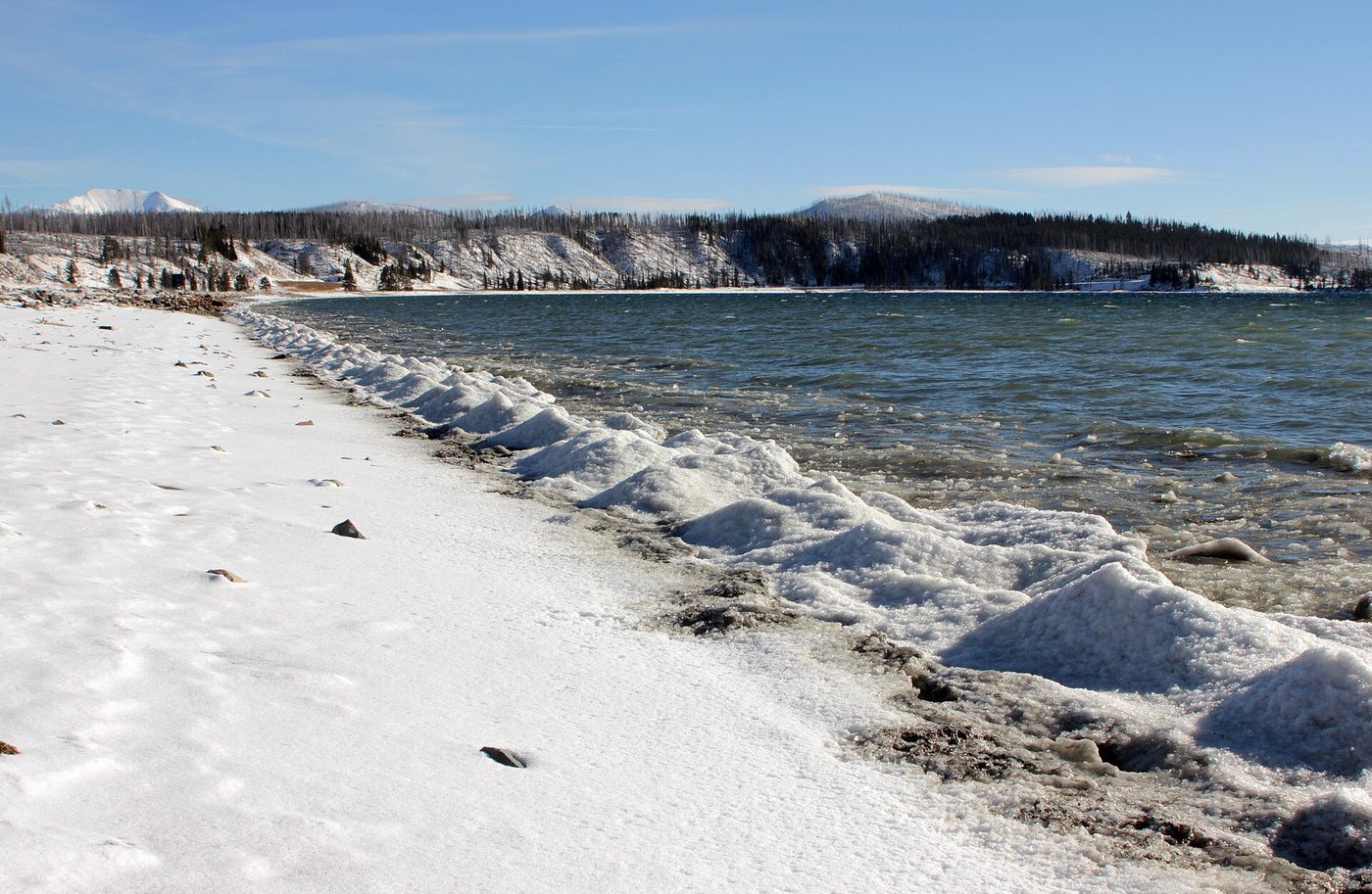
The lake’s weather is its own thing. At 7,733 feet, even July mornings can be in the 30s°F, and the lake creates strong afternoon winds that raise whitecaps quickly. Thunderstorms build over the water most summer afternoons. The practical advice: do water activities early in the day, carry warm layers even in August, and watch the sky.
Season by season:
- Spring (April to early June): The roads to the lake open in stages; in 2026 the East Entrance to Fishing Bridge section opened May 1 and the South Entrance to West Thumb and Lake roads opened May 8. The lake is still frozen or breaking up, and bears feed along the shoreline.
- Summer (late June to August): Everything’s open. Mornings are calm and cool; afternoons are windy.
- Fall (September to October): Quieter, crisp, with early snow possible. Lodges and campgrounds close from mid-September to mid-October, and most park roads close to cars at the start of November. Check exact dates on our Yellowstone road closures page.
- Winter (November to April): The lake freezes over, and the area is reachable only on guided snowcoach or snowmobile trips. It’s silent, frozen and very cold.
Our guide to Yellowstone Lake weather has monthly conditions, ice-out dates and wind patterns.
A short history of Yellowstone Lake
People have used the lakeshore for thousands of years; archaeologists have found evidence of Native American camps along its shores. The 1870 Washburn expedition and the 1871 Hayden survey mapped the lake, and by the 1890s it had a hotel, steamboats and a busy tourist trade.
A few stories worth knowing:
- The Lake Yellowstone Hotel opened in 1891 and was transformed into its Colonial Revival form in the early 1900s.
- Steamboats carried tourists across the lake from West Thumb to the Lake Hotel in the early park era. The hulk of the steamboat E.C. Waters, abandoned in the 1920s, still lies on Stevenson Island.
- Fishing Bridge was the center of the park’s fishing culture for decades, until fishing from it was banned in 1973 to protect spawning cutthroat.
- Lake trout were discovered in the lake in the 1990s, starting one of the largest native-fish restoration efforts in the national park system.
Our full Yellowstone Lake history guide covers each era.
Lewis Lake and Shoshone Lake
South and west of Yellowstone Lake are two more big lakes worth knowing about.
Lewis Lake is on the road between the South Entrance and West Thumb, and it’s the first large lake you see if you’re driving up from Grand Teton. It has a campground (June 15 to October 11 in 2026, $20 a night, checked September 2026) and a boat launch, and Lewis Falls, about 30 feet high, is right by the road to the south.
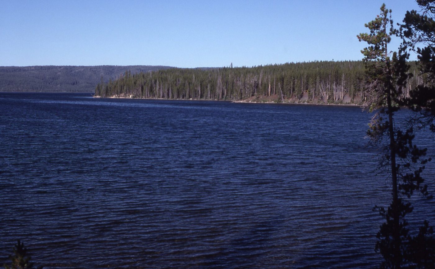
Shoshone Lake, northwest of Lewis Lake, is often described as the largest lake in the lower 48 states that can’t be reached by road. You get there on foot, via trails such as DeLacy Creek, or by paddling up the Lewis River Channel from Lewis Lake, which involves wading and towing your boat upstream. Motorboats aren’t allowed. The Shoshone Geyser Basin on its far shore is one of the park’s most remote thermal areas. Overnight trips require a backcountry permit. Our guide to Shoshone Lake covers routes, paddling and permits.
Planning your visit to Lake Country
How much time do you need?
- 1 hour: Drive through, stop at Fishing Bridge and the Lake Hotel.
- Half a day: Add Storm Point, Lake Butte Overlook and West Thumb.
- A full day or more: Add a boat cruise, Elephant Back Mountain or Natural Bridge, and stay overnight to see the lake at sunrise and sunset.
Services
- Gas: Fishing Bridge and Grant Village (24-hour card fueling at both).
- Food: Lake Hotel dining room, Lake Lodge cafeteria, general stores at Lake, Fishing Bridge and Grant.
- Medical: Lake clinic in summer.
- Visitor centers: Fishing Bridge and Grant Village; West Thumb information station.
Where to stay and camp
- In-park lodging: Lake Yellowstone Hotel and Cabins, Lake Lodge Cabins and Grant Village. See our lodging guide.
- Campgrounds: Bridge Bay (431 sites), Fishing Bridge RV Park (hard-sided vehicles only), Grant Village and Lewis Lake. Compare them in our camping in Yellowstone guide.
- Outside the park: The East Entrance is about 50 miles west of Cody, Wyoming. The lake is also a realistic day trip from Grand Teton via the South Entrance.
A half-day plan for Lake Country
If you’re based at Canyon or Old Faithful and want to give the lake a proper half day, this order works well in summer:
- Start at West Thumb (if you’re coming from Old Faithful) early in the morning for steam on the water and a quiet boardwalk. Allow 45 minutes.
- Drive the west shore to Bridge Bay, stopping at a picnic area or two. Detour down Gull Point Drive.
- Lake Yellowstone Hotel for coffee in the sunroom or an early lunch. Allow an hour.
- Fishing Bridge: walk onto the bridge to look for trout and pelicans, then spend 20 minutes in the visitor center.
- Storm Point: walk the 2.3-mile loop in about an hour and a half.
- Lake Butte Overlook for the view, timed for sunset if you’re staying nearby.
Coming from Canyon instead, reverse it: drive through Hayden Valley in the morning, start at Fishing Bridge, and finish at West Thumb in the late afternoon before continuing to Old Faithful.
Visiting with kids
The lake area is one of the easier parts of the park with children. Storm Point and the Pelican Creek Nature Trail are short and flat, marmots at Storm Point are a reliable hit, and a scenic cruise gives kids a break from the car. The Fishing Bridge Visitor Center’s old-school wildlife exhibits keep younger children busy. The one rule to make non-negotiable: no playing at the water’s edge without an adult right there. The water is cold enough to be dangerous, drop-offs can be sudden, and waves build fast in the afternoon.
Accessibility
Much of Lake Country is accessible from a car: the shoreline pullouts, Lake Butte Overlook, and the views from Fishing Bridge. The Lake Yellowstone Hotel’s public spaces and the Fishing Bridge Visitor Center have accessible entrances, and the West Thumb boardwalk has accessible sections, though some parts have slopes. Storm Point and the other trails are natural-surface paths and aren’t wheelchair-accessible. Ask at a visitor center for current accessible routes.
Mistakes to avoid at the lake
- Planning water time for the afternoon. Wind and thunderstorms build over the lake most summer afternoons. Book cruises, paddles and fishing trips for the morning.
- Underdressing. It’s often 10 to 15 degrees cooler on the shore than it felt at Old Faithful, and wind off 41°F water cuts through a T-shirt. Bring a fleece and a shell.
- Walking out onto the ice in spring. Lake ice in May is rotten and unpredictable. Stay off it entirely.
- Skipping Lake Butte because it’s “just a viewpoint.” It’s one of the best views in the park, and at sunset it’s hard to beat.
- Treating Pelican Valley like any other trail. It’s prime grizzly country with special rules. Check before you go.
- Leaving no margin for construction. In 2026, bridge work at Bridge Bay and near Fishing Bridge added up to 15 and 30 minutes of delays through November.
- Driving the East Entrance Road at dusk without care. Bison use the road along Mary Bay and Pelican Creek, and they’re hard to see in low light.
Is Yellowstone Lake worth it?
Yes. It’s less famous than Old Faithful or the Grand Canyon of the Yellowstone, and many visitors treat it as scenery between the big sights, but the lake area has some of the park’s best short walks, its most beautiful hotel, excellent birding and great sunsets. On a one-day trip it’s a drive-through, which is fine. On a trip of three days or more, give it at least half a day, and consider staying a night.
Where it’s not worth your time: in poor weather with low cloud, when the views vanish, or in late spring before the ice goes out, when services are limited. If you’re choosing between an evening at Lake Butte and an evening in Hayden Valley, check the forecast: clear skies favor the lake, and wildlife favors Hayden.
Frequently asked questions
Is Yellowstone Lake in Wyoming?
Yes. Yellowstone Lake is entirely in Wyoming, in the southeast of Yellowstone National Park. Don’t confuse it with Yellowstone Lake State Park, which is in Wisconsin.
What is the largest lake in Yellowstone?
Yellowstone Lake is the largest lake in the park, at about 132 square miles, and the largest high-elevation lake in North America. Shoshone Lake and Lewis Lake are the next largest.
How cold is Yellowstone Lake?
The lake averages about 41°F. Even in August, the surface rarely gets comfortable, and the NPS gives survival time in the water as 20 to 30 minutes.
Can you drive around Yellowstone Lake?
Not all the way. Roads follow the west and north shores and part of the northeast shore to Lake Butte, about 40 miles in total. The east and south shores are roadless backcountry.
Is Yellowstone Lake open in winter?
The lake freezes from late December or early January until late May or early June. In winter, roads to the lake are closed to cars and are reached only by guided snowcoach or snowmobile.
Can you take a boat tour on Yellowstone Lake?
Yes. Scenic cruises run from Bridge Bay Marina in summer, and boat rentals and guided fishing trips are also available there. Private boats need a park permit and an invasive species inspection.
What are the best things to do at Yellowstone Lake?
Walk Storm Point, visit the Lake Yellowstone Hotel and Fishing Bridge, drive to Lake Butte Overlook for sunset, see West Thumb Geyser Basin, and take a scenic cruise from Bridge Bay.
Sources
- National Park Service: Yellowstone Lake, checked September 2026
- National Park Service: Yellowstone park roads, checked September 2026
- National Park Service: Yellowstone campgrounds, checked September 2026
- Yellowstone National Park Lodges: Water Lover’s Guide to Yellowstone Lake, checked September 2026
Image credits
| Photo | Credit |
|---|---|
| Clear water and a calm morning on the West Thumb shore (top of page) | Acroterion, CC BY-SA 4.0, via Wikimedia Commons |
| Lakeshore Geyser at West Thumb, where hot springs meet the lake | Acroterion, CC BY-SA 4.0, via Wikimedia Commons |
| West Thumb Geyser Basin sits right on the lake’s western bay | Miguel Hermoso Cuesta, CC BY-SA 4.0, via Wikimedia Commons |
| The view west from Lake Butte Overlook | Yellowstone National Park from Yellowstone NP, USA, public domain, via Wikimedia Commons |
| The Lake Yellowstone Hotel opened in 1891 | Tony Hisgett from Birmingham, UK, CC BY 2.0, via Wikimedia Commons |
| The sign on Fishing Bridge tells the story of its closure to fishing | HaSt, CC BY-SA 4.0, via Wikimedia Commons |
| Inside the 1931 Fishing Bridge Visitor Center | Acroterion, CC BY-SA 4.0, via Wikimedia Commons |
| The shoreline section of the Storm Point loop | Supercarwaar, CC BY-SA 4.0, via Wikimedia Commons |
| Ice builds along the north shore as the lake freezes | Yellowstone National Park from Yellowstone NP, USA, public domain, via Wikimedia Commons |
| Shoshone Lake can be reached only on foot or by paddling | Unknown photographer, public domain, via Wikimedia Commons |