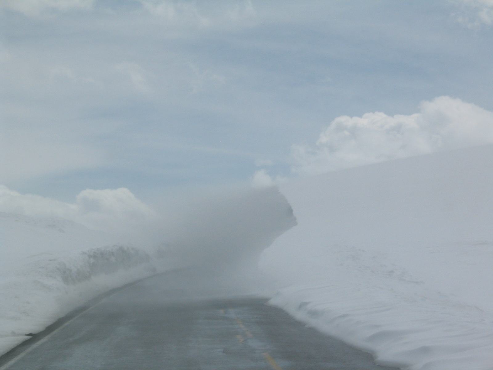
Yellowstone road closures follow a set seasonal pattern. In 2026, the first roads opened to cars on April 17, most of the park was open by May 8, the high passes opened May 22, and nearly every road closes to cars for winter after October 31. The only road open to cars all year runs from the North Entrance at Gardiner to the Northeast Entrance at Cooke City.
On top of the seasons come the surprises: a spring snowstorm that keeps Sylvan Pass shut for another week, a construction zone with a 30-minute wait, a rockslide, a wildfire or a bison herd that simply won’t leave the road. None of these should wreck a trip if you know how the system works and where to check.
This hub is the single place on our site for Yellowstone road dates. It covers the official 2026 opening and closing dates for every road segment, the 2026-27 winter schedule, every current construction project and its delays, how to check live road status, and the practical driving advice that keeps a Grand Loop day on schedule. Everything here comes from the NPS park roads page, which was updated September 17, 2026, and we note the check date on every figure.
Which Yellowstone roads are open right now?
As of mid-September 2026, all park roads are open to regular vehicles. Dunraven Pass, the Beartooth Highway and the Chief Joseph Scenic Byway close for the season on October 12, and most remaining roads close on October 31. For live status, call 307-344-2117 or text 82190 to 888-777.
Dates are one thing, but conditions change daily, particularly in spring and fall. Use these sources to check before you drive:
| Source | What it tells you | How to use it |
|---|---|---|
| NPS road status line | Current closures and conditions | Call 307-344-2117 |
| NPS text alerts | Road alerts sent to your phone | Text 82190 to 888-777 |
| NPS park roads page and map | Seasonal dates, construction, current closures | nps.gov/yell, “Park Roads” |
| NPS app | Road status and alerts, works partly offline | Download before you arrive |
| NPS webcams | Current conditions at the North and West entrances | Useful in spring and fall snow |
| Montana DOT and Wyoming DOT 511 | Highways leading to the park, including US-89, US-191, US-20 and US-212 | 511 by phone or online |
| Idaho 511 | US-20 from Idaho Falls and Ashton to West Yellowstone | 511 by phone or online |
Our advice: sign up for the text alerts the week before your trip, and check the road status line or app each morning before you set out. Cell service in the park is patchy, so check at your lodging while you have signal.
2026 Yellowstone road opening and closing dates
These are the NPS dates for regular (wheeled) vehicles for the 2026 season, checked September 17, 2026. Opening dates depend on plowing and can slip if spring weather is bad, and roads can close temporarily at any time because of snow, rockfall, accidents or fire.
| Road segment | Opens to cars (2026) | Closes to cars (2026) |
|---|---|---|
| North Entrance to Northeast Entrance (via Mammoth, Tower-Roosevelt, Lamar Valley) | Open all year | Open all year |
| West Entrance to Madison | April 17 | October 31 |
| Madison to Old Faithful | April 17 | October 31 |
| Madison to Norris | April 17 | October 31 |
| Mammoth to Norris | April 17 | October 31 |
| Norris to Canyon Village | April 17 | October 31 |
| East Entrance to Fishing Bridge (Sylvan Pass) | May 1 | October 31 |
| Canyon Village to Bridge Bay (via Hayden Valley, Fishing Bridge, Lake) | May 1 | October 31 |
| South Entrance to West Thumb | May 8 | October 31 |
| West Thumb to Old Faithful (Craig Pass) | May 8 | October 31 |
| West Thumb to Lake Village | May 8 | October 31 |
| Tower-Roosevelt to Tower Fall | May 8 | October 31 |
| Canyon Village to Tower Fall (Dunraven Pass) | May 22 | October 12 |
| Beartooth Highway (US-212), outside the park | May 22 | October 12 |
| Chief Joseph Scenic Byway (WY-296), outside the park | May 22 | October 12 |
Two things about these dates catch people out:
- The whole loop isn’t open until late May. The Grand Loop becomes a complete figure-eight only when Dunraven Pass opens, May 22 in 2026. Before then, you can’t drive directly between Canyon and Tower-Roosevelt, and the detour through Norris and Mammoth adds more than an hour.
- The high passes close early. Dunraven Pass, the Beartooth and the Chief Joseph close almost three weeks before the rest of the park. If you’re visiting in mid-October, plan your route without them.
For the history of opening dates, typical delays and what’s open on the first days of the season, see our guide to Yellowstone road opening dates.
Spring: what the first weeks look like
Spring openings aren’t like flipping a switch. The first roads open in the west and north in mid-April, because they’re lower and easier to clear. The East Entrance over Sylvan Pass and the South Entrance follow, and Dunraven Pass, the highest road, is last. Plowing crews start weeks ahead, clearing snow that can be well above a car roof on the higher passes.
What to expect in April and May:
- Snow and ice. Roads can be snowpacked or icy in the morning, and a late storm can close a pass for a day or longer. In 2026, late snow and ice slowed the opening of some roads.
- Temporary closures. Sylvan Pass and Craig Pass are the most likely to close briefly in spring storms.
- Limited services. Many lodges, restaurants and campgrounds don’t open until mid-May or later, even if the roads are open.
- Wildlife on the road. Bison, elk and bears use plowed roads as easy travel corridors in spring.
- Cyclists and walkers. In most years, the NPS allows bicycles on some plowed roads in the west of the park for a few weeks before they open to cars. Check the NPS site for the current spring cycling dates if you’re interested.
When does Yellowstone close for the season?
The park itself never closes; it’s open 24 hours a day, all year. What closes is the road system. In 2026, Dunraven Pass, the Beartooth Highway and the Chief Joseph Scenic Byway close October 12, and most other park roads close to cars on October 31. From then until mid-December, only the North to Northeast road is open.
The fall closing works in stages:
- Mid-October: The high passes close. Lodges and most campgrounds have already closed or are closing.
- October 31 (2026): Roads close to regular vehicles, except the North Entrance to Northeast Entrance road.
- November to mid-December: A quiet “shoulder season.” The interior roads are closed to all vehicles while crews prepare them for oversnow travel. You can drive from Gardiner through Mammoth and Lamar to Cooke City, and that’s it.
- December 15, 2026: Winter oversnow travel begins on groomed roads.
Fall storms can close roads before the scheduled date. A big October snowfall can shut Sylvan Pass, Craig Pass or Dunraven early, sometimes for good. If you’re traveling in late October, keep a flexible route and check conditions each morning.
Our full guide to when Yellowstone closes covers what closes when, including lodges, visitor centers and campgrounds.
The one road open all year, and the winter schedule
The road from the North Entrance at Gardiner, Montana, through Mammoth Hot Springs, Tower-Roosevelt and the Lamar Valley to the Northeast Entrance and Cooke City, Montana, is the only park road normally open to regular cars all year. In winter, Cooke City is a dead end: the 9 miles of US-212 from Cooke City to Pilot Creek are closed to wheeled vehicles and used for oversnow travel only.
The rest of the park’s roads are groomed in winter for commercially guided snowcoaches and snowmobiles, plus a limited number of non-commercially guided snowmobile trips. These are the 2026-27 oversnow dates (NPS, checked September 17, 2026):
| Segment | Oversnow travel dates |
|---|---|
| North to Northeast Entrance | Open to cars all year (not an oversnow route) |
| Mammoth to Norris | December 15, 2026 to March 7, 2027 |
| Norris to Madison | December 15, 2026 to March 9, 2027 |
| Norris to Canyon | December 15, 2026 to March 9, 2027 |
| Canyon to Washburn Hot Springs | December 15, 2026 to March 9, 2027 |
| Canyon to Fishing Bridge | December 15, 2026 to March 14, 2027 |
| West, South and East entrances and other groomed roads | December 15, 2026 to March 15, 2027 |
After the oversnow season ends in mid-March, the interior roads close to all travel again while crews plow them for the April opening.
What winter travel involves, from snowcoach trips to Old Faithful to where to stay, is covered in our Yellowstone in winter hub.
How long does it take to drive Yellowstone’s roads?
The Grand Loop is about 142 miles, and at realistic summer speeds of 25 to 35 mph it takes about 7 hours without stops. Old Faithful to Canyon is roughly 50 miles and 1.5 to 2 hours. Most visitors need two or three days to drive the loop and actually see its sights.
If you understand the shape of the roads, closures make sense too. Yellowstone has five entrances and one main loop.
The Grand Loop Road is a figure-eight of about 142 miles through the middle of the park, connecting the major sights. Its upper loop runs Mammoth, Norris, Canyon, Tower-Roosevelt and back to Mammoth; its lower loop runs Norris, Madison, Old Faithful, West Thumb, Lake, Fishing Bridge, Canyon and back to Norris. Five entrance roads connect it to the outside world.
Distances between junctions (NPS mileages):
| Segment | Miles |
|---|---|
| North Entrance to Mammoth | 5 |
| Mammoth to Norris | 21 |
| Norris to Madison | 14 |
| Madison to West Entrance | 14 |
| Madison to Old Faithful | 16 |
| Old Faithful to West Thumb | 17 |
| West Thumb to South Entrance | 22 |
| West Thumb to Fishing Bridge | 21 |
| Fishing Bridge to East Entrance | 27 |
| Fishing Bridge to Canyon | 16 |
| Canyon to Norris | 12 |
| Canyon to Tower-Roosevelt (Dunraven Pass) | 19 |
| Tower-Roosevelt to Mammoth | 18 |
| Tower-Roosevelt to Northeast Entrance | 29 |
The speed limit is 45 mph unless posted lower, and it’s lower in many places. In practice, with traffic, wildlife and stops, most visitors average 25 to 35 mph. Plan on at least 7 hours to drive the full Grand Loop without significant stops, and two or three days to see it properly. Our guide to Yellowstone driving times has a full point-to-point table with realistic summer times, and our driving through Yellowstone guide covers using the park as a through route between gateways.
For a visual layout of the roads, entrances and services, see our Yellowstone map hub. For day-by-day routes built around the loop, see our Yellowstone itinerary.
Yellowstone road construction in 2026
Construction is a normal part of every Yellowstone summer, since roads have to be repaired in a short season. These are the projects on the NPS park roads page as of September 17, 2026.
| Project | Location | Expected delays | Dates and restrictions |
|---|---|---|---|
| Gardner River High Bridge | 0.5 mile southeast of Mammoth, on the road to Tower | Up to 15 minutes, 24/7 | April 13 to late October 2026. Single lane. No vehicles 8’6″ or wider, 75 feet or longer, or over 80,000 pounds. Five nighttime closures from 9 p.m. to 4 a.m. after September 7 |
| Yellowstone River Bridge | Northeast Entrance Road, east of Tower-Roosevelt | Up to 30 minutes | Through November 2026 |
| Bridge Bay Bridge | Bridge Bay, Yellowstone Lake | Up to 15 minutes | August 25 through November 2026 |
| Firehole River Bridge | 1.5 miles south of Old Faithful | Up to 15 minutes | September 21 through October 2026 |
| Chip sealing | Parkwide | Up to 30 minutes | Throughout 2026, often with little warning |
The Gardner River High Bridge: the one that affects RVs
This is the project with the most impact on trip planning. The high bridge, just outside Mammoth on the road east toward Tower-Roosevelt and the Lamar Valley, was reduced to a single lane with traffic signals in 2026. The size limits are strict: vehicles 8 feet 6 inches or wider, 75 feet or longer, or heavier than 80,000 pounds can’t cross. That rules out some large motorhomes, trucks towing wide trailers and some commercial vehicles, and it means a long detour for them.
If you’re driving a big rig, measure it, including mirrors, before your trip. If it’s too wide or long, you’ll need to plan a route that avoids the Mammoth to Tower segment, which can mean entering or leaving by a different entrance. Watch for the scheduled overnight closures, too. The NPS has said the project will continue in future seasons, so check again for 2027.
The new Yellowstone River Bridge near Tower
On the Northeast Entrance Road just east of Tower-Roosevelt Junction, a new Yellowstone River Bridge replaced the 1963 span. According to regional reporting, the new bridge opened to traffic in November 2025, is about 1,285 feet long and 180 feet high, and cost about $118 million. In 2026, crews were removing the old bridge and finishing overlooks and parking, with delays of up to 30 minutes listed through November.
Our Yellowstone road construction guide tracks every project, including updates for 2027 as they’re announced.
Dunraven Pass, the Beartooth and the high roads
Yellowstone’s highest roads have the shortest seasons, and they’re some of the most beautiful drives in the region.
Dunraven Pass
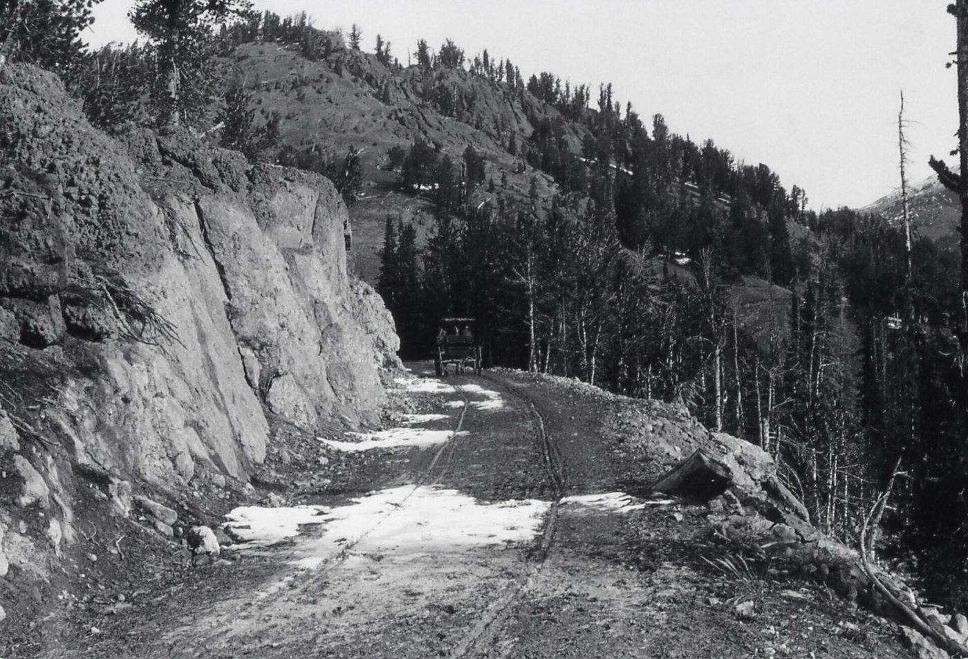
The road over Dunraven Pass connects Canyon Village and Tower-Roosevelt on the east side of the Grand Loop. It climbs the flank of Mount Washburn, with sweeping views and the trailhead for the Mount Washburn hike. In 2026, it was open from May 22 to October 12. Before and after those dates, drivers between Canyon and Tower-Roosevelt have to go the long way, through Norris and Mammoth.
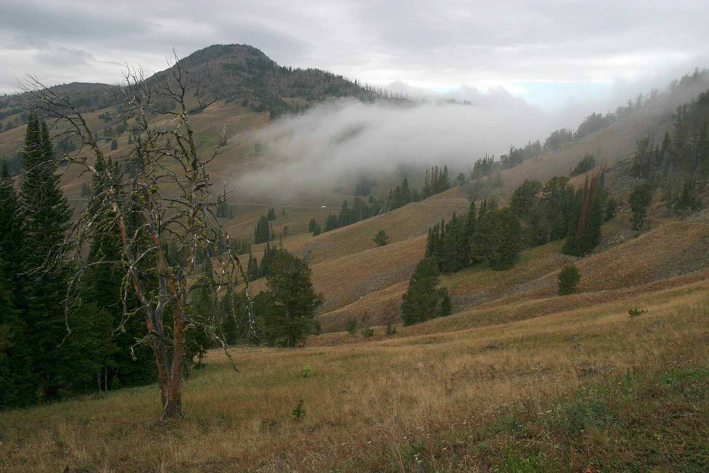
The road is narrow and winding with steep drop-offs, and it’s not a good choice for nervous drivers or very large RVs, although it’s open to them. Weather can close it briefly even in summer. Our guide to Dunraven Pass covers the drive, the pullouts and the best time to go.
Sylvan Pass and Craig Pass
Sylvan Pass, on the East Entrance Road between Cody and Fishing Bridge, is the high point of the road from the east and prone to avalanches and spring snow. Craig Pass, between Old Faithful and West Thumb, crosses the Continental Divide and is also one of the first roads to see snow in fall.
Beartooth Highway and Chief Joseph Scenic Byway
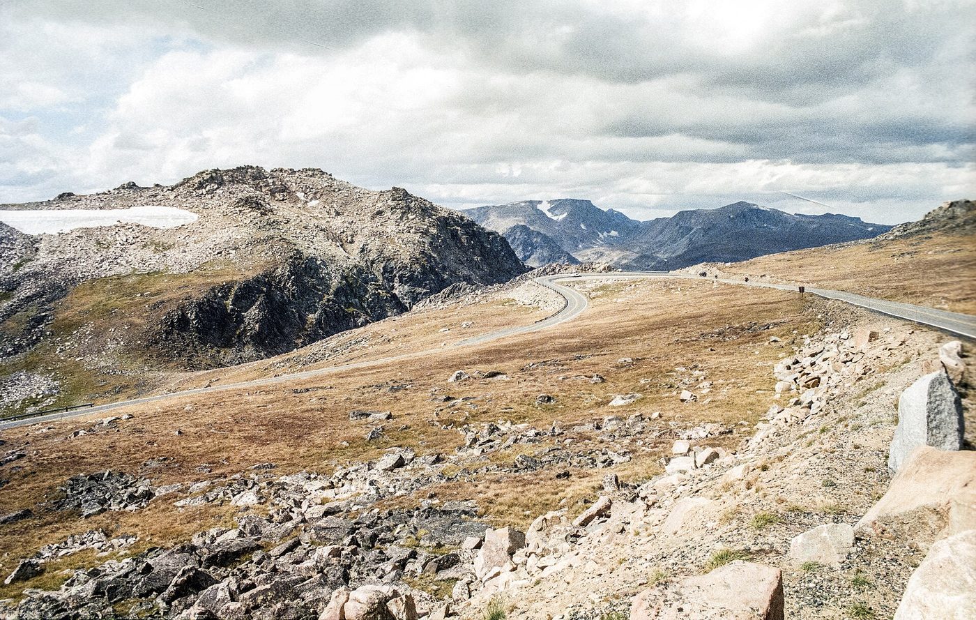
Outside the Northeast Entrance, two spectacular roads continue east from Cooke City. The Beartooth Highway (US-212) climbs over the Beartooth Plateau to Red Lodge, Montana, reaching elevations near 11,000 feet. The NPS says it’s typically open from the Friday of Memorial Day weekend to mid-October; in 2026, May 22 to October 12. The Chief Joseph Scenic Byway (WY-296) runs southeast toward Cody. It’s plowed year-round from WY-120 to Pilot Creek, but the 9-mile stretch of US-212 from Cooke City to Pilot Creek closes to wheeled vehicles in winter, so wheeled vehicles use the whole route only from mid-May to early November.
Both roads are operated by state highway departments, so check Montana and Wyoming 511 for status. Their dates matter for anyone planning a loop through the Northeast Entrance.
The 2022 flood and what it changed
In June 2022, record flooding on the Yellowstone, Lamar and Gardner rivers destroyed sections of park roads, and the park temporarily closed to all visitors. The worst damage was to the North Entrance Road through the Gardner River canyon between Gardiner and Mammoth, and to parts of the Northeast Entrance Road.
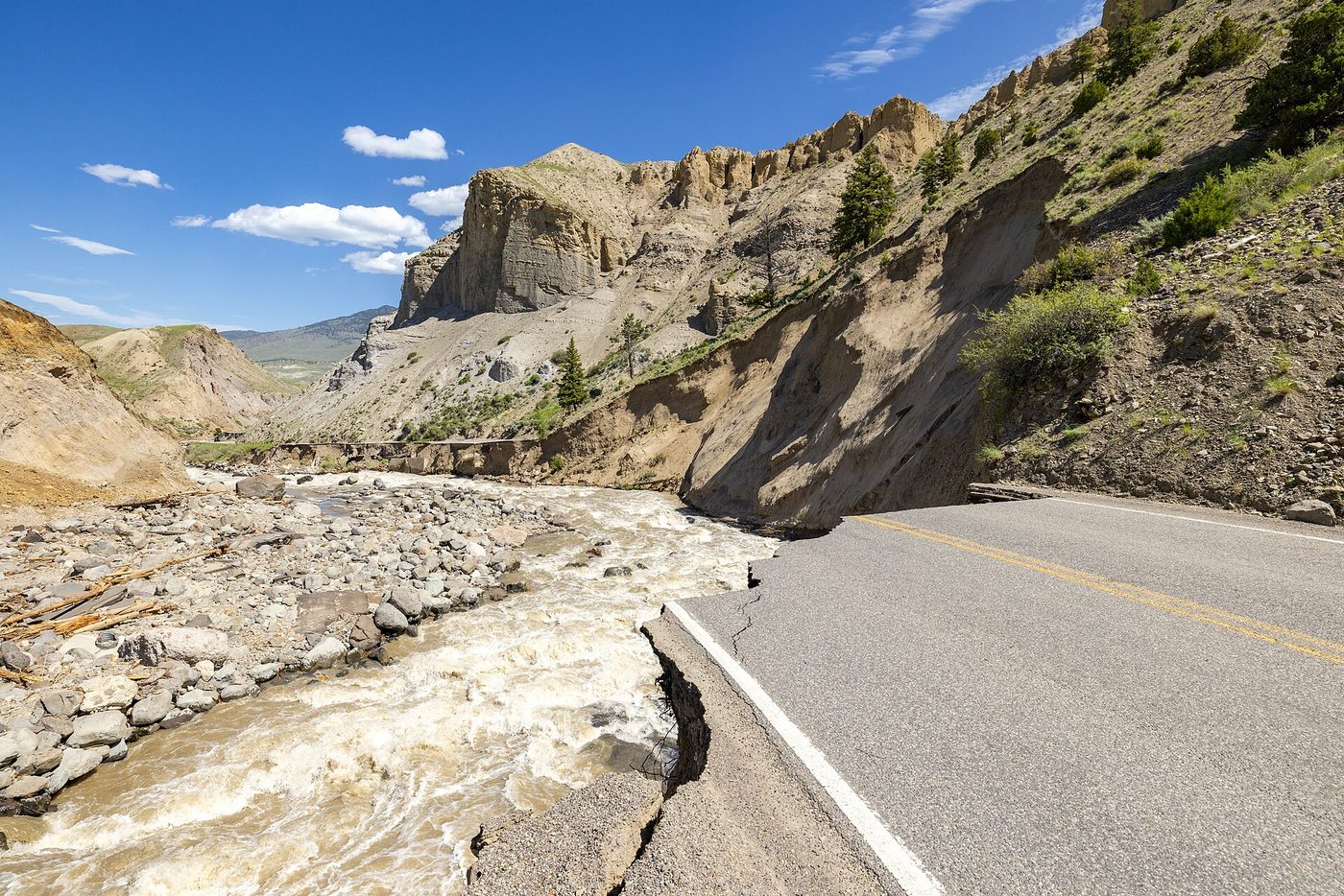
The park reopened in stages that summer. The North Entrance and the road to Mammoth reopened on October 30, 2022, using the Old Gardiner Road, a historic route that was rebuilt to carry two-way traffic. That’s still the route you drive today between Gardiner and Mammoth. Planning for a permanent North Entrance Road has continued, and the Boiling River swimming area near the old road has remained closed to swimming since the flood.
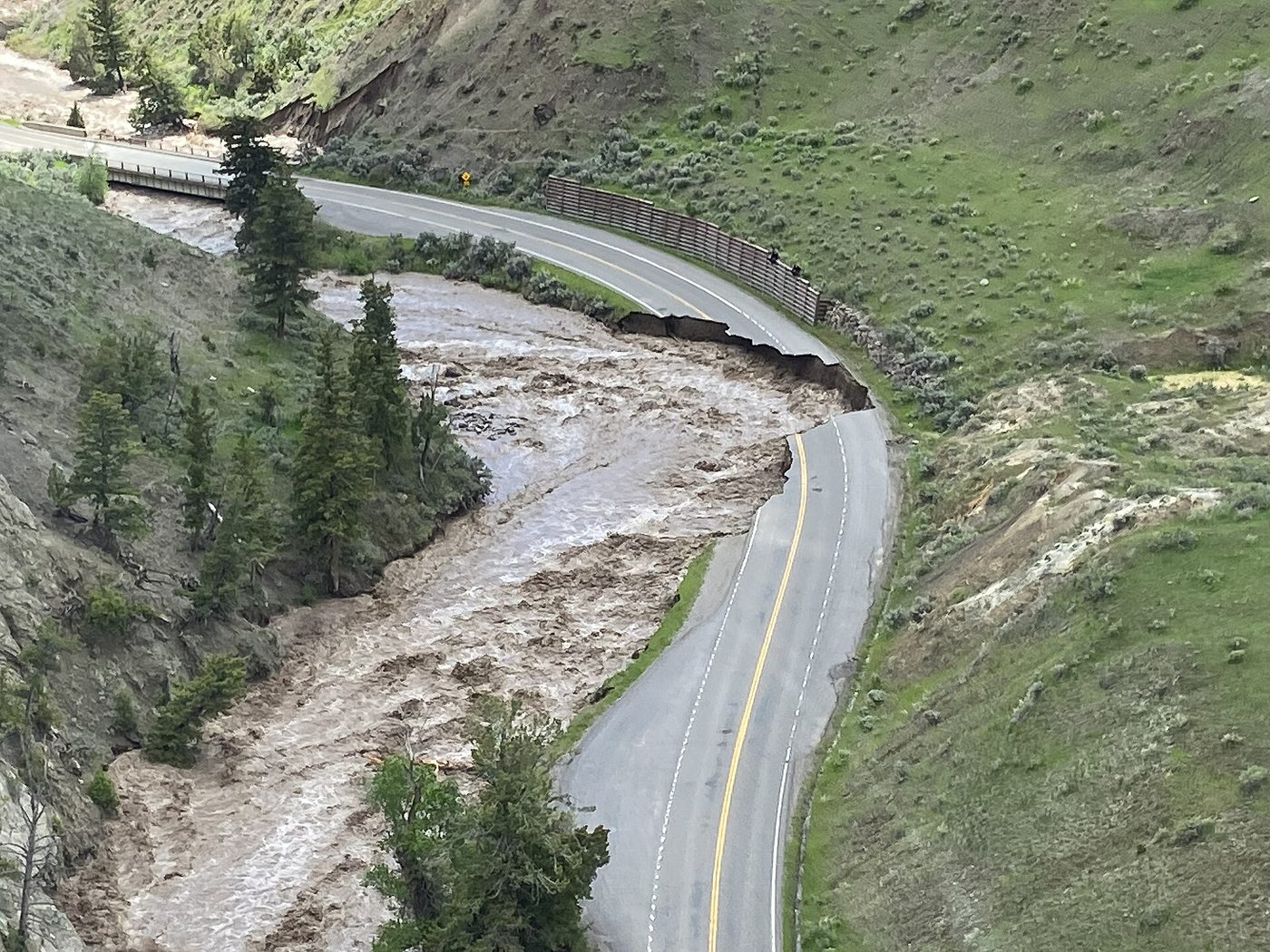
What it means for you now: the North Entrance is open year-round, but the road is narrower and steeper than the old canyon road, and it’s worth driving carefully in winter. Our guide to the Yellowstone flood of 2022 explains what happened, what’s been rebuilt and what’s still closed.
Driving in Yellowstone: tips, traffic and rules
Traffic accidents are the most common cause of serious injury in the park, according to the NPS. These are the habits that keep you safe and moving.
Rules of the road
- Speed limit: 45 mph unless posted lower. Lower limits apply in developed areas and construction zones.
- Pull fully off the road to stop. Never stop in a travel lane to watch wildlife or take photos.
- Stay in your car in wildlife jams, and keep your distance: 100 yards from bears and wolves, 25 yards from bison and elk.
- Don’t drive off-road, including onto grass at the side of the road.
- Bicycles share the road with cars and must follow the same rules. There are few shoulders.
Traffic and timing
In summer, traffic is heaviest from about 10 a.m. to 4 p.m., especially around Old Faithful, Grand Prismatic Spring, the Grand Canyon of the Yellowstone and Hayden Valley. Parking lots at popular sights fill by mid-morning. Start early, see the busiest sights first, and use the middle of the day for longer drives or quieter areas.
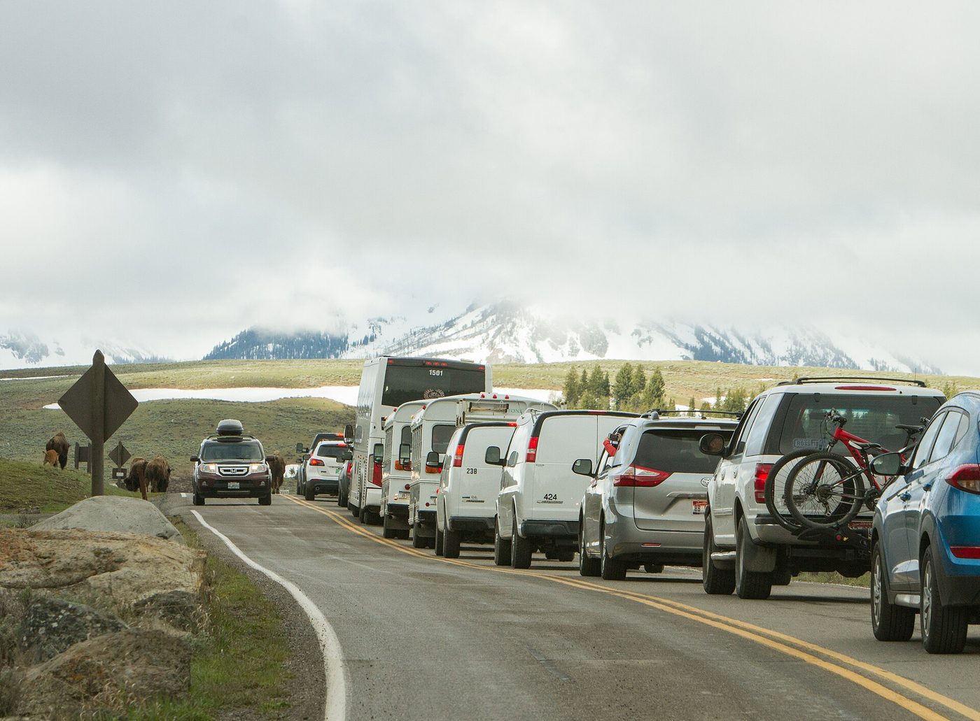
Wildlife jams, when a bear or herd of bison causes traffic to stop, are an everyday part of Yellowstone driving. Some last a few minutes; some last an hour. Build buffer time into every day, especially if you have a dinner reservation or a boat tour booked.
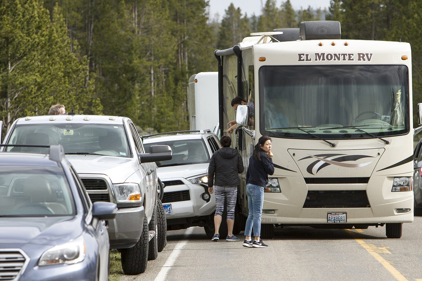
Our Yellowstone traffic guide covers the worst times and places for congestion, and how to avoid them. For practical driving advice, including RV handling, passing and wildlife jams, see our full guide to driving in Yellowstone.
Can you drive through Yellowstone at night?
Yes. The park is open 24 hours, and entrances aren’t gated at night when roads are seasonally open, though construction zones may have scheduled overnight closures. We don’t recommend it for most visitors: wildlife on the road is very hard to see in the dark, and services are closed and far apart.
If you do have to drive at night, slow down well below the speed limit, use high beams when there’s no oncoming traffic, and watch for eyes reflecting in your headlights. A bison standing across a dark road at 45 mph is a serious crash. Our guide to driving through Yellowstone at night covers the rules and risks.
Scenic drives and side roads
Beyond the Grand Loop, Yellowstone has several short side roads that are worth knowing about. Some are one-way, some are unpaved, and several aren’t suitable for RVs or trailers.
- Firehole Canyon Drive: A short one-way road near Madison that runs through a narrow canyon past the Firehole Falls. Our guide to Firehole Canyon Drive covers vehicle restrictions and when to go.
- Firehole Lake Drive: A one-way loop through the Lower Geyser Basin past Great Fountain Geyser.
- Upper Terrace Drive: A short loop at Mammoth Hot Springs; no long RVs, trailers or buses.
- Blacktail Plateau Drive: An unpaved, one-way road of about 6 miles between Mammoth and Tower-Roosevelt.
- North and South Rim Drives: Along the Grand Canyon of the Yellowstone near Canyon Village.
- Gull Point Drive: A short lakeshore spur near Bridge Bay.
Side roads often open later and close earlier than the main roads, and some close when conditions are wet. Our Yellowstone scenic drives hub ranks every drive in and around the park.
Gas and EV charging
There’s no gas between most junctions, so plan fuel stops.
- Gas stations in the park: Canyon Village, Fishing Bridge, Grant Village, Mammoth Hot Springs, Old Faithful and Tower-Roosevelt. Card fueling is available 24 hours a day, year-round, at these stations (checked September 2026).
- Gas outside the park: All gateway towns, including West Yellowstone, Gardiner, Cooke City, Cody and Jackson.
Our rule: fill up whenever you’re below half a tank and passing a station. Prices inside the park are generally higher than in larger gateway towns.
EV charging inside the park is limited, and it’s not something to rely on as your only charging option. Most EV drivers charge in gateway towns and plan routes carefully, especially on long days and cold mornings, when range drops. Our guide to EV charging in Yellowstone lists current chargers in and around the park and suggests routes.
RVs, trailers and large vehicles
Yellowstone is RV-friendly in general, with RV-accessible campgrounds and wide main roads, but there are real limits.
- The Gardner River High Bridge near Mammoth doesn’t allow vehicles 8’6″ or wider, 75 feet or longer, or over 80,000 pounds in 2026.
- Side roads such as Upper Terrace Drive and some scenic loops don’t allow long RVs, trailers or buses.
- Campgrounds have their own length limits, from about 25 feet at Lewis Lake to 95 feet at Fishing Bridge RV Park. Check them on our camping in Yellowstone guide.
- Parking at popular sights is tight. Arrive early, and use RV parking where it’s marked.
- Mountain passes like Dunraven, Sylvan and Craig have steep grades. Use low gears on the descents.
Our Yellowstone RV camping guide has everything else for RV travelers, including dump stations and hookups.
Planning your trip around road closures
Here’s how to use this information when you’re choosing dates and routes.
If you’re traveling in April or early May
Plan around the West and North entrances. Old Faithful, Grand Prismatic, Norris, Canyon and Mammoth are reachable once the April 17 roads open. Lake, West Thumb and the South and East entrances come later, and many services are still closed. If you’re coming from Grand Teton, the South Entrance road doesn’t open until May 8.
If you’re traveling from late May to early October
Everything is open. The only planning issue is construction: check the current projects, especially the Gardner River High Bridge if you’re driving a large vehicle.
If you’re traveling in mid- to late October
After October 12, plan the loop without Dunraven Pass. After October 31, almost everything is closed, and in late October you should be ready for snow closures and plan to stay flexible.
If you’re traveling from November to April
Only the North to Northeast road is open to cars. For the rest of the park, you’ll need a snowcoach or snowmobile tour between December 15 and mid-March. Between early November and mid-December, and between mid-March and mid-April, the interior of the park isn’t accessible to visitors at all.
Always
- Check the NPS road status line or app the morning you drive.
- Sign up for text alerts.
- Build in buffer time for construction and wildlife.
- Keep a full tank and warm clothes in the car in spring and fall.
For how road dates fit into the bigger picture of choosing when to go, including crowds, weather and wildlife, see our guide to the best time to visit Yellowstone.
Frequently asked questions
When do Yellowstone roads open in 2026?
The first roads, from the West and North entrances to Old Faithful, Norris, Canyon and Mammoth, opened April 17, 2026. The East Entrance and Canyon to Bridge Bay opened May 1, the South Entrance and West Thumb roads May 8, and Dunraven Pass and the Beartooth Highway May 22.
When do Yellowstone roads close?
In 2026, Dunraven Pass, the Beartooth Highway and the Chief Joseph Scenic Byway close October 12, and most other park roads close to cars on October 31. The North Entrance to Northeast Entrance road stays open all year.
How do I check Yellowstone road conditions?
Call the NPS road status line at 307-344-2117, text 82190 to 888-777 for alerts, or check the NPS website or app. For highways outside the park, use Montana, Wyoming or Idaho 511.
Is any road in Yellowstone open in winter?
Yes. The road from the North Entrance at Gardiner through Mammoth and Lamar Valley to the Northeast Entrance and Cooke City is open to cars all year. Other roads are groomed for guided snowcoaches and snowmobiles from December 15, 2026 to mid-March 2027.
Are there construction delays in Yellowstone in 2026?
Yes. The main projects are the Gardner River High Bridge near Mammoth (single lane, size limits), the Yellowstone River Bridge near Tower, the Bridge Bay Bridge, the Firehole River Bridge and parkwide chip sealing, with delays of 15 to 30 minutes.
Can RVs drive in Yellowstone?
Yes, on the main roads. In 2026, the Gardner River High Bridge near Mammoth doesn’t allow vehicles 8’6″ or wider, 75 feet or longer, or over 80,000 pounds, and some side roads don’t allow long RVs or trailers.
How long does it take to drive the Grand Loop?
The Grand Loop is about 142 miles. Without stops it takes about 7 hours at realistic park speeds; with stops, plan two to three days to see it properly.
Sources
- National Park Service: Yellowstone park roads, updated September 17, 2026, checked September 2026
- National Park Service: Yellowstone safety, checked September 2026
- National Park Service: North Entrance reopening after the 2022 flood, checked September 2026
- Montana Department of Transportation: 511 travel information, checked September 2026
- Wyoming Department of Transportation: road conditions, checked September 2026
Image credits
| Photo | Credit |
|---|---|
| Deep drifts on the South Entrance Road during spring plowing (top of page) | Yellowstone National Park from Yellowstone NP, USA, public domain, via Wikimedia Commons |
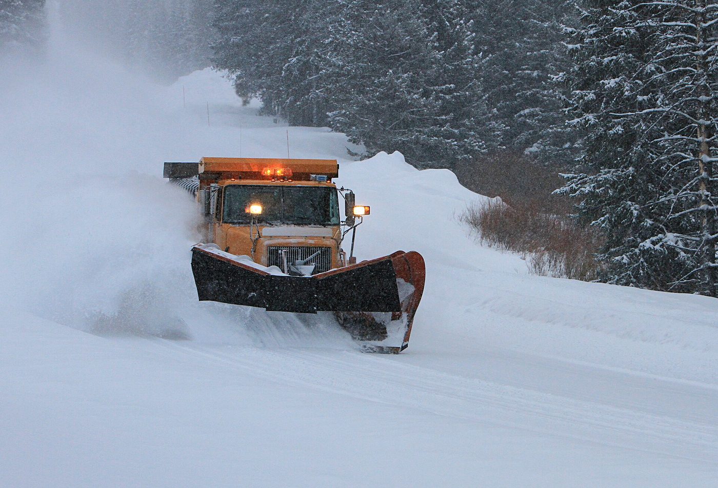
| Plowing near the Northeast Entrance, on the park’s only year-round road corridor | Yellowstone National Park from Yellowstone NP, USA, public domain, via Wikimedia Commons |
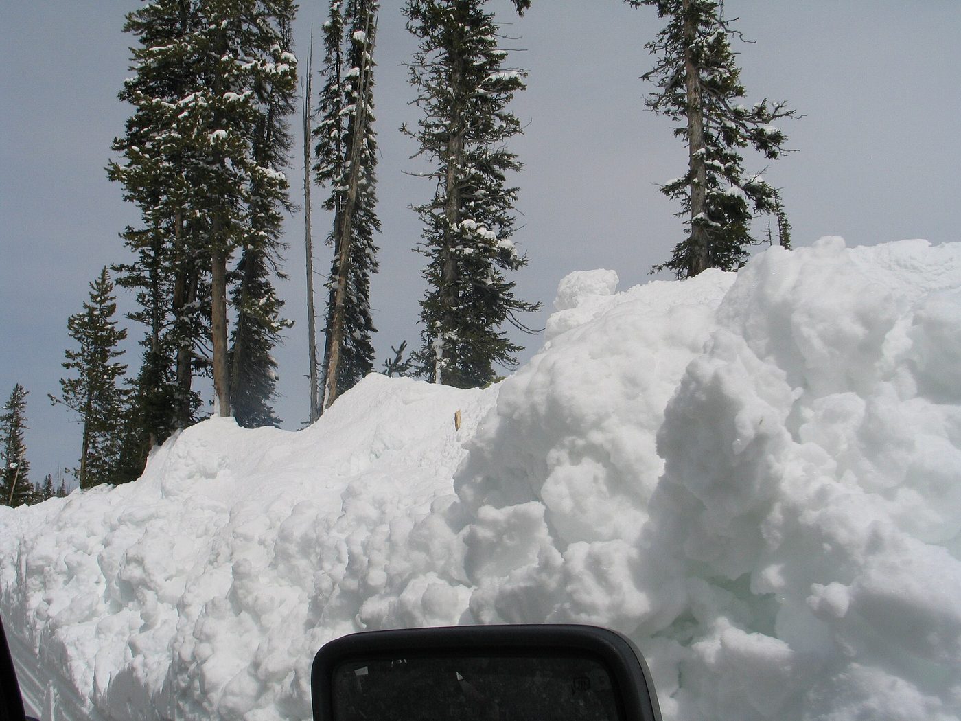
| Snow piled above the marker stakes near Lewis River during spring opening work | Yellowstone National Park from Yellowstone NP, USA, public domain, via Wikimedia Commons |
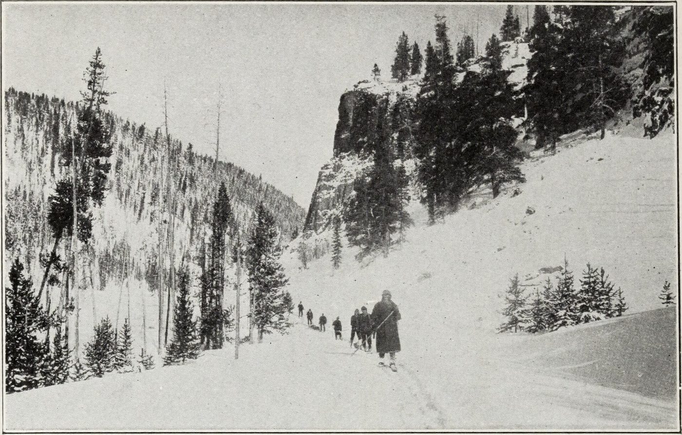
| Winter travel in Yellowstone’s early days, from a vintage road guide | Internet Archive Book Images, No restrictions, via Wikimedia Commons |
| A bison jam backs up traffic | Yellowstone National Park from Yellowstone NP, USA, public domain, via Wikimedia Commons |
| Dunraven Pass has the park’s shortest road season | Greg Willis from Denver, CO, usa, CC BY-SA 2.0, via Wikimedia Commons |
| Dunraven Pass around 1918 | Unknown authorUnknown author, public domain, via Wikimedia Commons |
| The Beartooth Highway, open roughly Memorial Day weekend to mid-October | Acroterion, CC BY-SA 4.0, via Wikimedia Commons |
| The North Entrance Road washed out in the June 2022 flood | Yellowstone National Park, public domain, via Wikimedia Commons |
| Floodwater cutting into the road through the Gardner River canyon | Yellowstone National Park, public domain, via Wikimedia Commons |
| A minor collision in a wildlife jam south of Mammoth | Yellowstone National Park from Yellowstone NP, USA, public domain, via Wikimedia Commons |