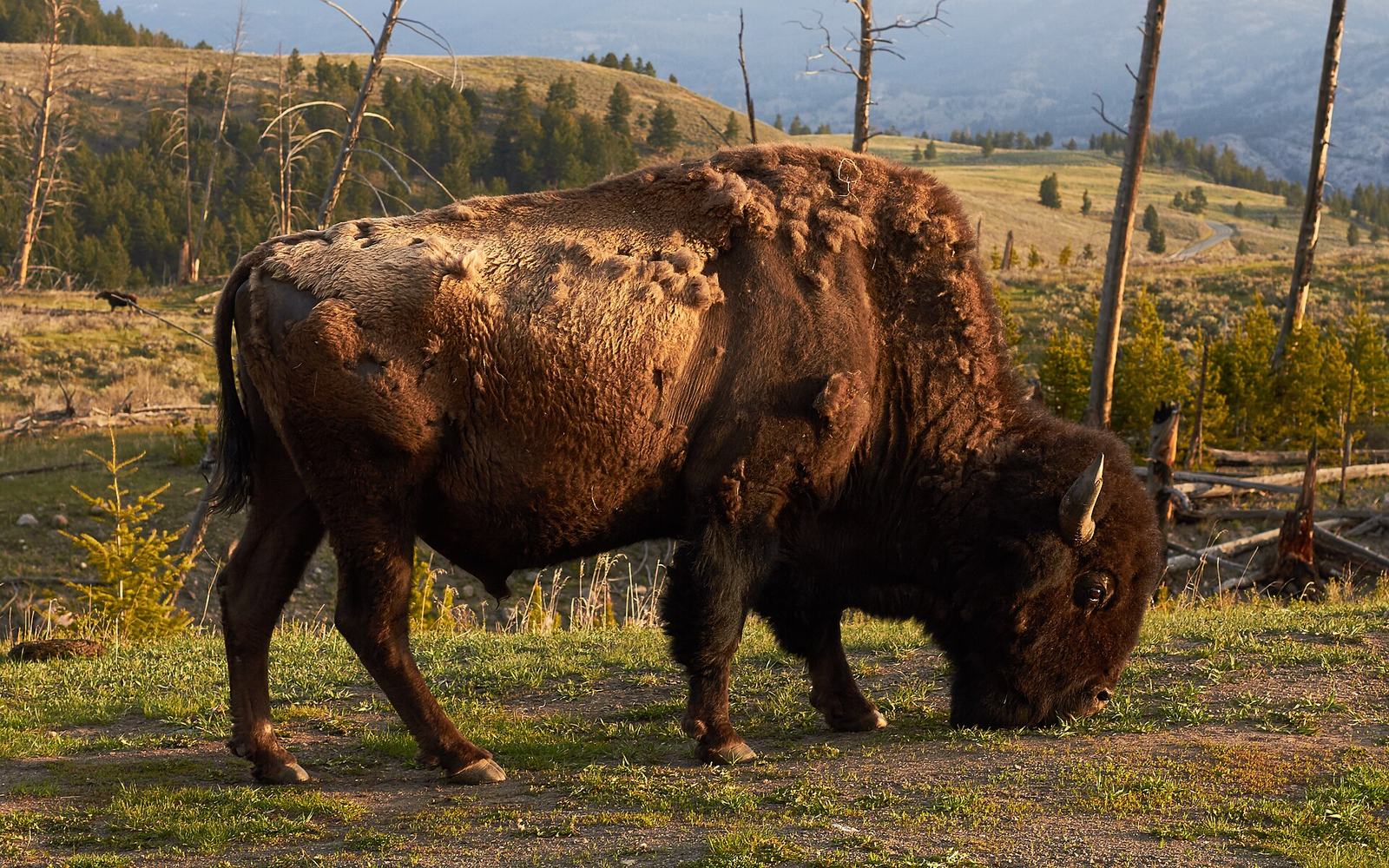
Where is Yellowstone National Park? In the north-west corner of Wyoming, spilling over into Montana and Idaho. About 96 per cent of the park sits in Wyoming, roughly 3 per cent in Montana along the northern and north-western edges, and about 1 per cent in Idaho at the south-west corner. It covers 2,219,791 acres — around 3,470 square miles — which makes it larger than Rhode Island and Delaware put together.
This page answers the location question properly: which states and where the lines fall, how big the park really is, where the five entrances are and what each leads to, which airports and cities are nearest, and which side you should come in from given what you want to see. If you are at the start of planning, our hub on planning a trip to Yellowstone covers the sequence in full. Checked September 2026.
What state is Yellowstone National Park in?
Wyoming, mostly. The park is one of the few places in the United States that sits across three state lines, and the split is lopsided:
| State | Share of the park | Which part |
|---|---|---|
| Wyoming | about 96% | Everything except the northern and western fringes |
| Montana | about 3% | A northern strip above Mammoth and Lamar, plus the west boundary near West Yellowstone |
| Idaho | about 1% | The far south-west corner, in the Cascade Corner / Bechler country |
The practical consequences matter more than the trivia. Yellowstone is administered as a single federal unit, so park regulations, entrance fees and rangers are the same wherever you are inside the boundary. But the moment you leave, you are in whichever state you exited into, with its own taxes, fishing licences, speed limits and alcohol rules. Fishing inside the park runs on a park permit rather than a state licence, which trips up anglers every year.
The state split also explains the gateway towns. West Yellowstone and Gardiner are in Montana; Cody and Jackson are in Wyoming; Island Park and Ashton are in Idaho. Where you sleep and where you eat is usually a different state from where you spend your day.
Where exactly is Yellowstone?
The park occupies a high volcanic plateau in the Rocky Mountains, centred roughly at 44.6° north and 110.5° west, about 300 miles north of Salt Lake City and 500 miles north-west of Denver. Its nearest large city is Bozeman, Montana, about 90 miles from the North Entrance.
Its neighbours, going clockwise:
- North: Paradise Valley and the Absaroka-Beartooth Wilderness, then Livingston and Bozeman.
- East: the Absaroka Range and Shoshone National Forest — the first national forest in the United States — then Cody.
- South: Grand Teton National Park, connected directly by the John D. Rockefeller Jr. Memorial Parkway, then Jackson.
- West: the Caribou-Targhee and Gallatin national forests, Island Park in Idaho, and Big Sky in Montana.
That ring of protected land is the point. Yellowstone is the core of the Greater Yellowstone Ecosystem, one of the largest nearly intact temperate ecosystems on earth, which is why the wildlife works here in a way it does not in parks that are islands in farmland.
It also explains the remoteness. There is no city within 90 miles of a park entrance and no motorway within a hundred. The roads in are two-lane highways through national forest, the phone signal disappears well before the gate, and the last supermarket is in the gateway town. For most visitors that is a large part of the appeal, but it has practical consequences: fill the tank before the final leg, carry more water than you think, and do not assume a pharmacy or a mechanic is nearby.
How big is Yellowstone National Park?
2,219,791 acres, or roughly 3,470 square miles. Comparisons that actually help:
| Yellowstone is about | Comparison |
|---|---|
| Larger than | Rhode Island and Delaware combined |
| Larger than | Puerto Rico |
| Roughly the size of | Cyprus, or Northern Ireland at about 5,500 sq mi — Yellowstone is smaller |
| About 2.5 times | Grand Teton National Park |
| About 63 miles | north to south at its widest |
| About 54 miles | east to west at its widest |
The number most visitors should internalise is not the acreage but the driving. The Grand Loop Road, the figure-of-eight that connects every major sight, is about 142 miles, and the National Park Service’s own drive-time table gives 30 minutes from the West Entrance to Madison Junction, 35 to 45 minutes from Madison to Old Faithful, 45 minutes from Grant Village to Lake Village, 35 from Lake to Canyon, 50 to 60 from Canyon to Tower Junction and 40 from Tower to Mammoth. Adding those up, a single circuit of the loop with no stops is the better part of a day.
The speed limit is 45 mph, the real average is closer to 30 to 35 with wildlife and traffic, and there is no public transport inside the park. That combination is why “I’ll see Yellowstone in a day” does not work.
To put the scale in terms that plan a trip: from the West Entrance to Lamar Valley is over two hours. From the South Entrance to Mammoth Hot Springs is about two and a half. From Cody in the east to Old Faithful in the south-west is around two and a half hours from the town, of which an hour is before you even reach the gate. Nowhere in Yellowstone is more than about 90 minutes from anywhere else on the loop, and almost everything is 45 minutes to an hour and a half from everything else, which means a day with four widely spaced objectives on it is a day spent driving.
The corollary is the single most useful piece of planning advice there is for this park: pick two bases rather than one, and organise each day around one region.
The five entrances and where they lead
| Entrance | State | Gateway town | Leads to | Typical season |
|---|---|---|---|---|
| West | Montana | West Yellowstone, MT | Madison, the geyser basins, Old Faithful | Mid-April to early November |
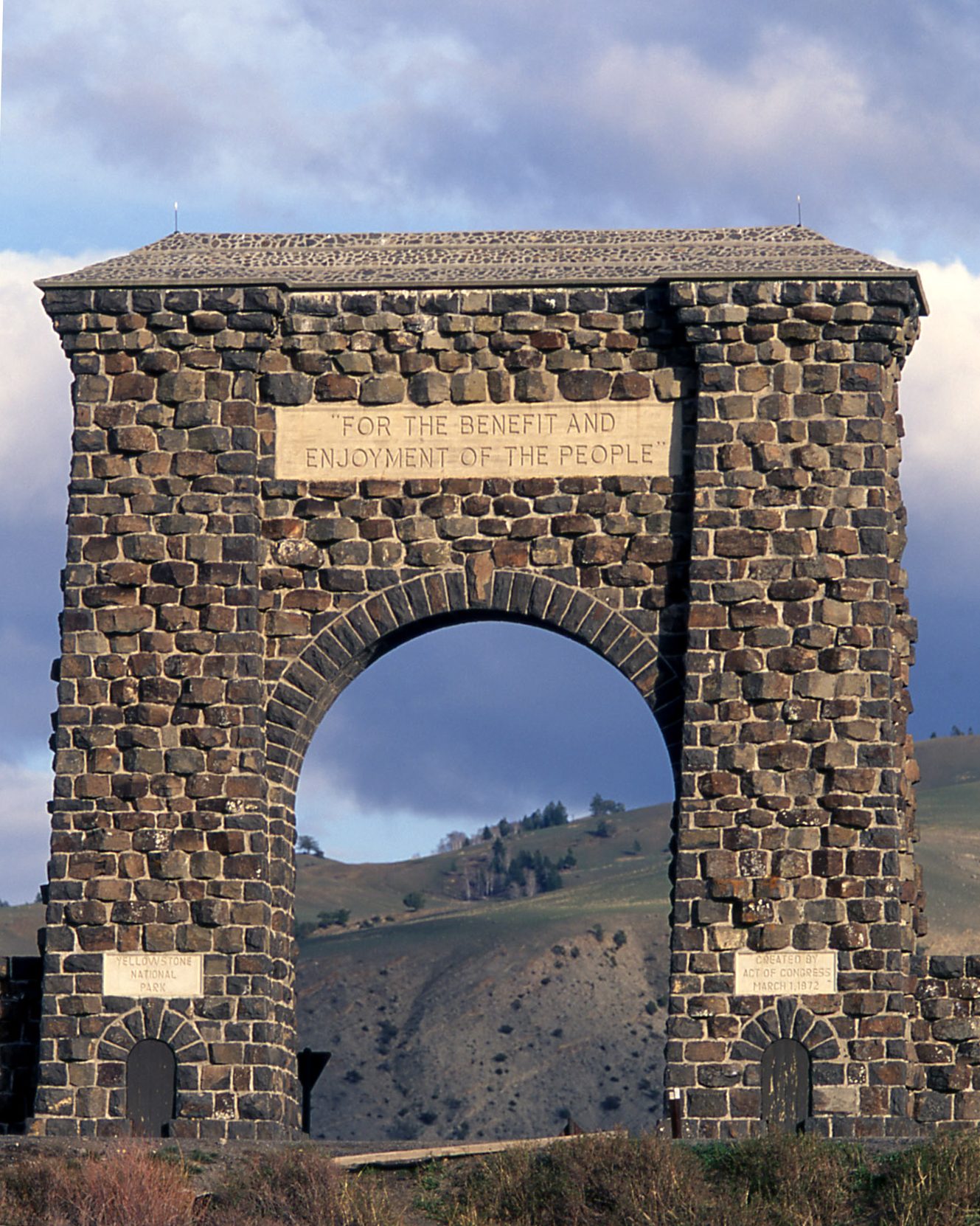
| North | Montana | Gardiner, MT | Mammoth, Tower, Lamar Valley | Year-round |
| Northeast | Montana | Cooke City / Silver Gate, MT | Lamar Valley, the northern range | Year-round to Cooke City; Beartooth seasonal |
| East | Wyoming | Cody, WY | Fishing Bridge, Yellowstone Lake, Hayden Valley | Early May to early November |
| South | Wyoming | Jackson, WY, via Grand Teton | West Thumb, Grant, Old Faithful | Mid-May to early November |
Three things about that table are worth saying out loud.
The North Entrance is the only one open to cars all year. Everything else closes to wheeled vehicles in early November and reopens in stages from mid-April. In 2026 the West Entrance to Madison and Old Faithful roads opened on 17 April, with other segments following through May.
Interior roads close in winter regardless of which gate you use. From early November to mid-April the only driving inside Yellowstone is the northern road from Gardiner through Mammoth and Lamar to Cooke City. Everything else is reached by snowcoach or guided snowmobile.
Seasonal dates move every year and construction changes them mid-season. Check Yellowstone road closures before finalising anything, and again in the week you travel.
One more thing about the entrances that surprises people: they are not gated at night. Once the roads are open for the season you can drive into the park at four in the morning, which is exactly what wildlife watchers do. Entrance stations are staffed during the day and unstaffed early and late, and you are expected to have paid or to pay when you next pass a staffed booth. That single fact reshapes what a gateway-town base is capable of.
Nearest cities and airports
There is no rail service to Yellowstone — the National Park Service says so plainly, and the nearest depots are in south-east Idaho, Salt Lake City and northern Montana. You are flying and driving, or driving all the way.
Airports with year-round commercial service, per the National Park Service: Bozeman and Billings in Montana, Cody and Jackson in Wyoming, and Idaho Falls in Idaho. West Yellowstone has its own small airport, seasonal from roughly early May to mid-October.
- Bozeman (BZN) is the busiest and best-connected, about 90 miles from the North Entrance and around 100 from the West. It has 12 year-round nonstop routes and many more in summer, and it is the default for most visitors.
- Jackson (JAC) sits inside Grand Teton National Park, about 60 miles from the South Entrance, and is the obvious choice for a two-park trip.
- Cody (COD) has year-round service to Denver and puts you an hour from the East Entrance.
- Idaho Falls (IDA) is the budget option, roughly 110 miles from the West Entrance, with ten nonstop routes including low-cost carriers.
- Billings (BIL) serves the Northeast Entrance, though the direct route is over the seasonal Beartooth Highway.
- Salt Lake City (SLC) is about 320 miles away, typically five to six hours’ drive, and frequently the cheapest way into the region from overseas.
Driving distances from the larger cities: Salt Lake City roughly 320 miles, Denver roughly 520, Boise, Seattle and Las Vegas all considerably further. Our full breakdown, including which airport suits which itinerary and the open-jaw strategies for a two-park trip, is on how to get to Yellowstone.
How the park is laid out
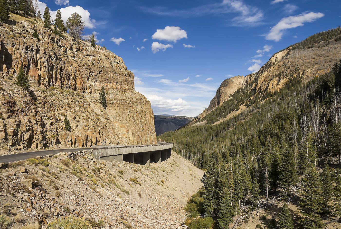
Once you are inside, Yellowstone is organised around one road. The Grand Loop is a figure of eight about 142 miles around, with five spurs running out to the five entrances. Every major sight is on it or a short distance off it.
The lower loop, running clockwise from Madison Junction: Old Faithful and the Upper Geyser Basin, West Thumb on the lakeshore, Grant Village, Lake Village and Fishing Bridge, Hayden Valley, Canyon Village and the Grand Canyon of the Yellowstone, then Norris Geyser Basin and back to Madison.
The upper loop: Canyon over Dunraven Pass to Tower-Roosevelt, west to Mammoth Hot Springs, south past Norris and back to Canyon. Lamar Valley runs east from Tower to the Northeast Entrance.
Most first-time visitors spend the majority of their time on the lower loop, because that is where the geysers, the canyon and the lake are. Wildlife watchers spend theirs on the upper loop and in Lamar. A four-day trip can cover both; a two-day trip has to choose.
The park’s five regions, as the National Park Service frames them, are Mammoth Country in the north-west, Roosevelt Country in the north-east including Lamar, Canyon Country in the middle, Lake Country in the south-east, and Geyser Country in the south-west.
What the map does not show is how different those regions feel. Geyser Country is steaming, otherworldly and busy, with boardwalks and crowds and the strange sulphur smell that people either love or cannot abide. Lake Country is wide and quiet and cold, more like a northern sea coast than a mountain park. Canyon Country is vertical and dramatic and the most consistently photographed. Roosevelt Country and Lamar are open sagebrush valleys full of animals, and feel like the Serengeti with pine trees. Mammoth is terraces and travertine and a working village that was once a US Army fort.
Choosing where to spend your days is really choosing between those five characters, and most people who come back for a second visit do so because they only saw two of them.
Why is Yellowstone where it is?
Because of a volcanic hotspot, and the answer explains almost everything about the place.
Yellowstone sits over a plume of hot rock rising from deep in the Earth’s mantle. The North American plate has been sliding south-west across it for around 16.5 million years, leaving a chain of ancient calderas across the Snake River Plain in Idaho like a scorch mark. The plate is still moving; the hotspot is not.
Three enormous eruptions happened here — about 2.1 million, 1.3 million and 631,000 years ago — and the most recent left the caldera 30 by 45 miles across that most of the park sits inside. According to the National Park Service, magma sits 3 to 8 miles beneath Sour Creek Dome and 8 to 12 miles beneath Mallard Lake Dome, and the youngest lava flow in the park is the roughly 70,000-year-old Pitchstone Plateau rhyolite.
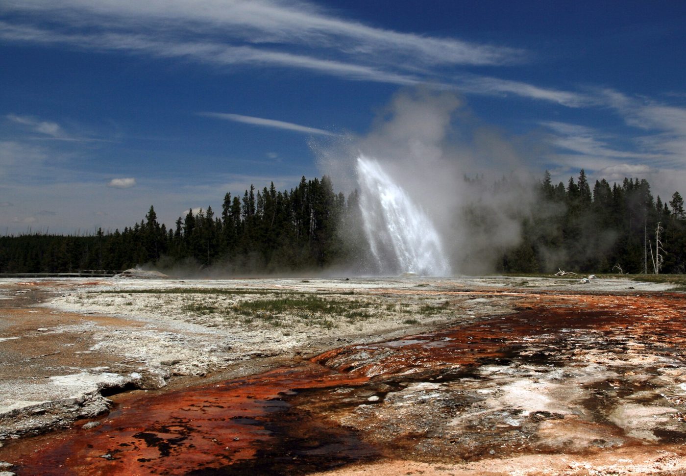
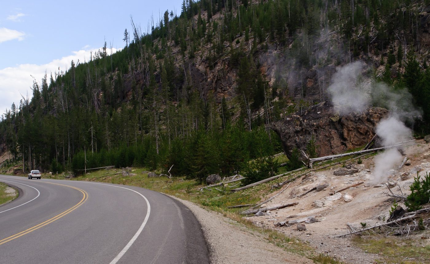
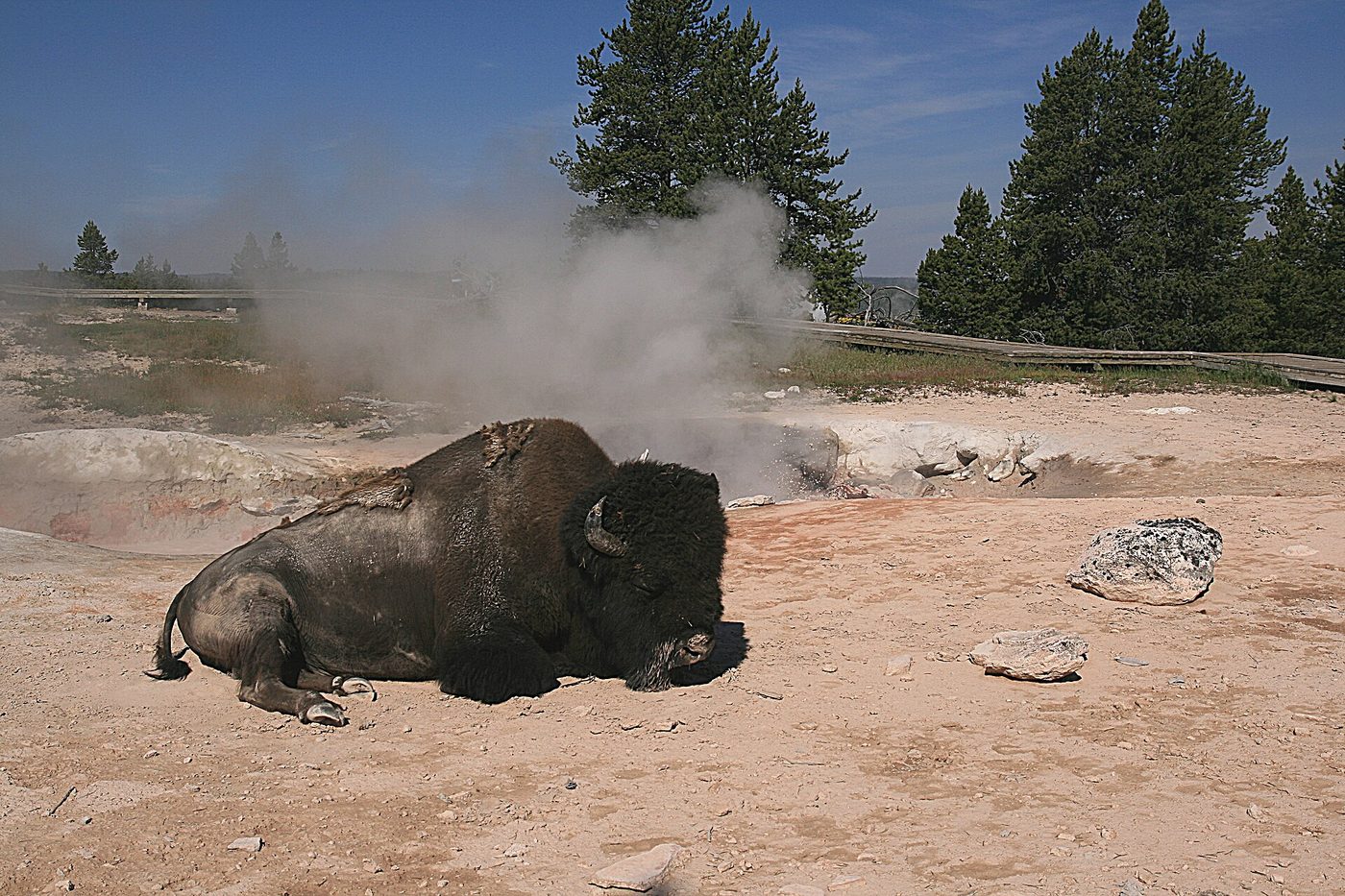
That heat is why there are more than 10,000 hydrothermal features here, including roughly half the world’s geysers, and why 700 to 3,000 earthquakes are recorded in a typical year. It is also why the land is high, why it holds so much snow, and why a plateau at 7,000 to 8,000 feet in the middle of a mountain range is broad and rolling instead of steep.
On the question everyone asks: the United States Geological Survey states flatly that “Yellowstone is not overdue for an eruption,” that the magma beneath it is only 5 to 15 per cent molten, and that scientists are not convinced a large eruption will ever happen again here. The arithmetic that produces alarming numbers on the internet is, in the USGS’s own word for it, meaningless.
The hotspot has one more effect worth knowing about as a visitor, which is that the ground moves. The two resurgent domes inside the caldera rise and fall by inches over years as magma and hydrothermal fluids shift beneath them, and the seismic network records hundreds to thousands of small earthquakes a year, almost all of them too small to feel. Roads buckle, boardwalks are relaid, and features appear and disappear. A thermal area you read about in a guide published three years ago may not behave the way it did, which is precisely what happened at Biscuit Basin in 2024.
What is next door
Grand Teton National Park adjoins Yellowstone at the south, connected by the John D. Rockefeller Jr. Memorial Parkway, with the drive from Yellowstone’s South Entrance to the Tetons taking under an hour. The two are routinely done as one trip, and since 1 January 2026 both charge the $100 nonresident fee for non-US residents aged 16 and over, so the pass arithmetic matters — see Yellowstone entrance fees.
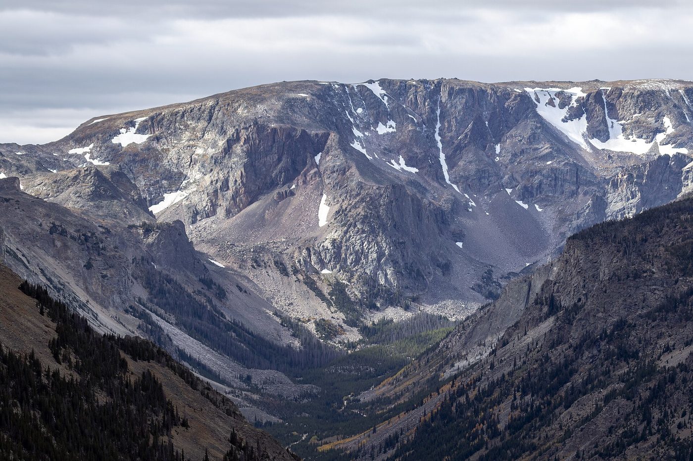
The Beartooth Highway, from the Northeast Entrance to Red Lodge, Montana, climbs to nearly 11,000 feet and is one of the great drives in North America. It is open only from roughly late May to mid-October.
Shoshone National Forest wraps the east side, with the Buffalo Bill Cody Scenic Byway running through it to Cody.
Caribou-Targhee and Gallatin national forests cover the west and north-west, taking in Hebgen Lake, Island Park and the Gallatin Canyon road to Big Sky and Bozeman.
All of that surrounding land is public and most of it is open, which matters more than it sounds. Campgrounds, trailheads and fishing water in the national forests are cheaper, quieter and far easier to book than anything inside the park boundary, and several of them are closer to a park entrance than the in-park lodges are to each other. If Yellowstone itself is full, the ring of forest around it usually is not.
Which side should you enter from?
This is the question the location really hides, and the answer depends entirely on what you want.
- Geysers, Grand Prismatic, Old Faithful, first visit: the West Entrance, from West Yellowstone, Montana. Thirty minutes to Madison, 75 to Old Faithful.
- Wolves, bears, bison, Lamar Valley: the North or Northeast Entrance, from Gardiner or Cooke City, Montana.
- Yellowstone Lake, the canyon, Hayden Valley: the East Entrance, from Cody, Wyoming.
- A trip that includes Grand Teton: the South Entrance, from Jackson, Wyoming.
- Winter: the North Entrance, because it is the only one open to cars.
Most people entering for the first time come through the West Entrance, which is why the queue there between 8:30 and 11:00 on a July morning is what it is. Arriving before 8:00 avoids nearly all of it.
If you are flying, the airport often decides the entrance for you, and it is worth checking that pairing before you book the flight rather than after. Bozeman naturally feeds the North and West; Jackson the South; Cody the East.
There is a stronger version of this for anyone with a week or more: fly into one airport and out of another. Bozeman in and Jackson out lets you drive the length of the park and continue through Grand Teton without repeating a mile of road, and the one-way car hire fee is usually less than the cost of the day you would spend backtracking. It is the single best structural decision available on a Yellowstone trip and remarkably few people make it.
For a shorter trip, the opposite applies: pick one entrance, stay near it, and accept that you will not see the other half of the park. Three days at the West Entrance doing the geyser basins and the canyon properly beats three days driving the whole loop and seeing all of it from a car park.
Practicalities that follow from the location
Time zone. All of Yellowstone observes Mountain Time, including the Idaho corner, which is unusual — most of Idaho north-west of here is on Pacific Time. There is no time change anywhere inside the park.
Elevation. Most of the park sits between about 7,000 and 8,500 feet, with the developed areas ranging from roughly 5,300 feet at the northern boundary to 7,700 feet at Grant Village. The highest point in the park is commonly given as Eagle Peak at 11,372 feet, in the remote south-east. Visitors from sea level frequently feel the altitude on the first night: drink more water than seems necessary and do not plan a hard hike for day one.
Weather. Snow is possible in every month of the year, and it is not a figure of speech — the National Park Service says to expect large temperature swings, rain or snow in any month. July highs average around 80°F and lows around 47°F; January averages 28°F and 10°F. The month-by-month picture is on the best time to visit Yellowstone.
Services. There is no public transport inside the park and a vehicle is effectively required. Fuel is available at Canyon, Fishing Bridge, Grant, Mammoth, Old Faithful and Tower Junction, with 24-hour card payment year-round. Cell coverage exists around the developed areas and is poor to absent everywhere else.
Frequently asked questions
What state is Yellowstone National Park in?
Mostly Wyoming. About 96 per cent of the park is in north-west Wyoming, roughly 3 per cent in southern Montana along the northern and western edges, and about 1 per cent in eastern Idaho in the south-west corner. It is administered as one federal park regardless of the state lines.
How big is Yellowstone National Park?
2,219,791 acres, or roughly 3,470 square miles — larger than Rhode Island and Delaware combined. It measures about 63 miles north to south and 54 miles east to west, and the Grand Loop Road that connects the main sights runs about 142 miles.
What is the closest city to Yellowstone?
Bozeman, Montana, about 90 miles from the North Entrance, is the nearest city of any size and has the region’s busiest airport. The nearest towns are the gateway communities themselves: West Yellowstone and Gardiner in Montana, and Cooke City at the Northeast Entrance.
What is the closest airport to Yellowstone?
West Yellowstone Airport, immediately outside the West Entrance, but it is small and seasonal. For year-round service the options are Bozeman, Billings, Cody, Jackson and Idaho Falls, with Bozeman the busiest and best connected.
How far is Yellowstone from Salt Lake City?
About 320 miles, or five to six hours’ drive, typically north on I-15 through Idaho Falls and then east on US-20 to West Yellowstone. It is often the cheapest place to fly into for an international visitor, at the cost of a long first day.
Can you visit Yellowstone and Grand Teton in one trip?
Yes, and most people should. The parks adjoin at Yellowstone’s South Entrance, connected by the John D. Rockefeller Jr. Memorial Parkway, and the drive between them takes under an hour. An America the Beautiful pass covers both, which matters now that each charges a nonresident fee.
Is Yellowstone in the mountains?
It sits on a high volcanic plateau within the Rocky Mountains, ringed by ranges including the Absaroka to the east and the Gallatin to the north-west. The plateau itself is broad and rolling at 7,000 to 8,500 feet rather than steep, which is a direct consequence of the volcanic history.
Which entrance to Yellowstone is best?
The West Entrance for geysers and a first visit, the North or Northeast for wildlife, the East for the lake and the canyon, and the South if you are combining with Grand Teton. The North Entrance is the only one open to cars all year.
Yellowstone’s location is the reason it is what it is: high enough and remote enough to hold an intact ecosystem, volcanic enough to produce half the world’s geysers, and just far enough from everywhere that getting there takes planning. Once you have settled which state you are flying into and which gate you are using, the rest of the trip falls into place — start with our hub on planning a trip to Yellowstone, then the numbers and oddities on Yellowstone National Park facts and the practical advice on Yellowstone National Park tips.
Sources
- National Park Service: Yellowstone directions and transportation
- National Park Service: Yellowstone park roads and construction
- National Park Service: the Yellowstone volcano
- USGS: is Yellowstone overdue for an eruption?
- National Park Service: Yellowstone operating dates
Image credits
| Photo | Credit |
|---|---|
| Roughly half the world’s geysers are here, and the volcanic hotspot is the reason | Brocken Inaglory, CC BY-SA 3.0, via Wikimedia Commons |
| The North Entrance at Gardiner, Montana, is the only gate open to cars all year | Yellowstone National Park from Yellowstone NP, USA, public domain, via Wikimedia Commons |
| The Grand Loop is about 142 miles of two-lane road and connects nearly every major sight | InSapphoWeTrust from Los Angeles, California, USA, CC BY-SA 2.0, via Wikimedia Commons |
| Golden Gate, where the road is carried on a viaduct above the canyon | Acroterion, CC BY-SA 4.0, via Wikimedia Commons |
| The Beartooth Highway leaves the Northeast Entrance and is open only from late May to mid- | Acroterion, CC BY-SA 4.0, via Wikimedia Commons |
| Bison use the thermal ground for warmth in winter, which is one reason the herds stay | Brocken Inaglory, CC BY-SA 3.0, via Wikimedia Commons |